

Passo di Costa Miana

Description
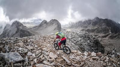
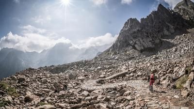
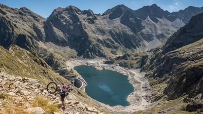
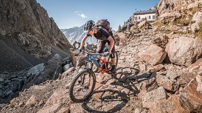
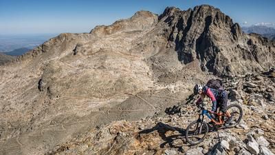
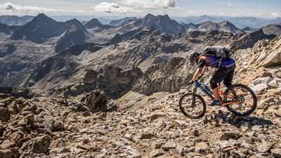
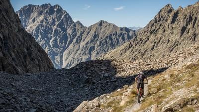
The starting point is the parking lot near the Terme di Valdieri. From here, the route immediately becomes challenging and follows a military road in the Vallo Alpino towards Fontana del Valasco. The uphill is sometimes very difficult and rough, as the rough gravel and sometimes steep inclines demand everything from the biker. You then come to the Piano Superiore del Valasco, where the military road gets worse and worse and eventually mutates into a trail that is still partly rideable or can be pushed. From an altitude of around 2100 meters above sea level, the road improves again and allows you to pedal again. Apart from the exertions, you find yourself in the midst of an absolute dream backdrop as far as the landscape is concerned. Towards the north, the Cima Sud di Valrossa borders the Lago inferiore di Valscura, where you leave the path on the right and use an alpine path to push or carry your bike up to the highest point of the tour, the Passo di Costa Miana. At an altitude of almost 2600 meters above sea level, you are surrounded by a landscape that is second to none. Eagles, ibexes and top-class views are guaranteed here.
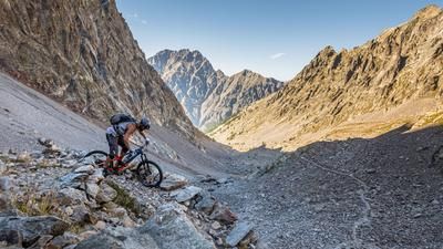
The downhill trail then runs at difficulty level S2 to warm up, but then changes to a level of S4 in places. In places, the bike has to be carried or pushed off. This runs in countless zig-zag bends before you rejoin the ascent road of the Vallo Alpino at an altitude of around 1750 meters above sea level. You then use the trail separators from difficulty S1 to S3 to get back to the starting point.
Map & GPX-Track
The map is only available to Ride subscribers.
The Ride-Subscription is available at ride-mtb.com/abo
.
Details of the tour
21 km
1240 m
1240 m
1397 above sea level
2621 above sea level
1 day
Terme di Valdieri
Terme di Valdieri
2732
not suitable
More information
More tours nearby




User comments (0)

About the author: Martin Depauli
Note: This content has been automatically translated from German. Please report any incorrect translations.