

Colle del Valasco

Description
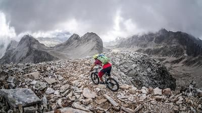
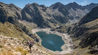
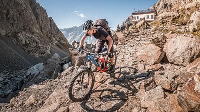
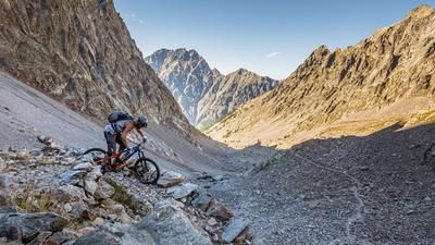
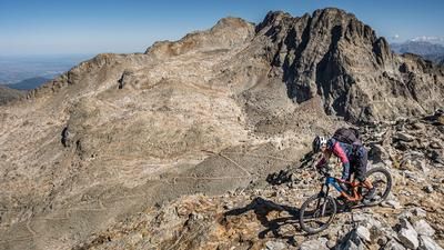
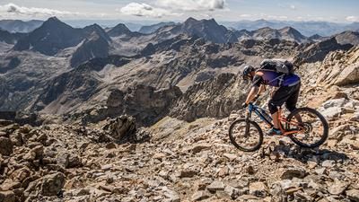
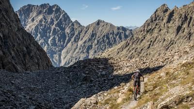
The tour starts at Terme di Valdieri near Entraque. From here, the route climbs moderately uphill on the breathtaking military road through the Valle Valasco to the Rifugio Valasco. From the Rifugio Valasco (1764 meters above sea level), the trail becomes more difficult and resembles a single trail, but can be ridden uphill by bikers in good physical condition. At the Ricoveri di Valscura, you reach the Lago di Valscura - a natural jewel in a class of its own with historic buildings at every turn. The route then continues along the most breathtaking section of the tour. A military road in almost its original condition rides through the barren lunar landscape towards Lago del Claus. From here, this cross-country Uphill B section of the entire tour is essentially over. At difficulty level S3, the route follows an old military path towards Colle del Valasco, initially only downhill. In between, you should definitely take a break and take a look at the historic buildings. It is fascinating to see the precision and perfection with which the paths were carved into the rugged rocky and natural landscape. After crossing the Valle Prefouns, the final climb up to the Colle del Valasco begins. Partly rideable, partly pushing, it goes up to 2430 meters above sea level. At the saddle itself, it's back to the big time. The next valley in the direction of Lago Sottano di Fremamorta opens up, as do the historic buildings and a tremendous view of the Maritime Alps.
The following descent is still at a level between S1 and S2 at the beginning, but becomes increasingly difficult and reaches S4 level at times. In the lower part of Valle Valletta at the end of the trail, the route then briefly takes you onto asphalt and then the last trail sections back to Terme di Valdieri. Conclusion: All in all, an amazing tour with more than 14 kilometers of trail.
Map & GPX-Track
The map is only available to Ride subscribers.
The Ride-Subscription is available at ride-mtb.com/abo
.
Details of the tour
25 km
1290 m
1290 m
1397 above sea level
2395 above sea level
1 day
Terme di Valdieri
Terme di Valdieri
2166
well suited
More information
More tours nearby





User comments (0)

About the author: Martin Depauli
Note: This content has been automatically translated from German. Please report any incorrect translations.