

Rocca di Valmiana - Süd

Description
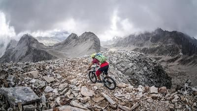
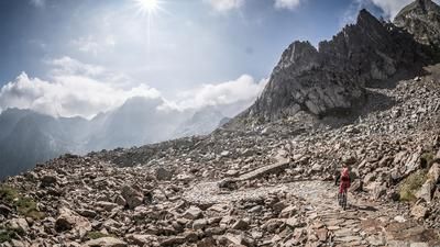
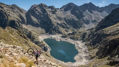
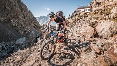
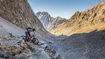
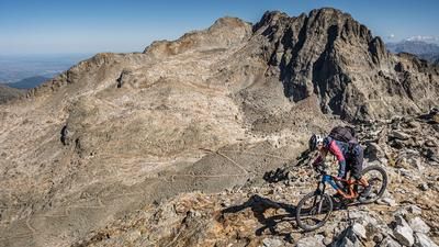
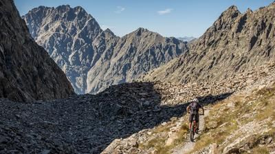
The route starts below the Terme di Valdieri. Once you reach a small forest parking lot, you pedal a few meters on asphalt and then continue uphill on an old military road in Vallo Alpino. The climb up to around 1750 meters above sea level is littered with rough gravel and bumps. The pedaling is already very demanding here. An old Alpini trail then turns off to the right and rides along countless hairpin bends up to an altitude of over 3000 meters above sea level. A huge structure from the Second World War has survived to this day, although nature has been stronger in places and has eroded and damaged the path considerably. Once you reach the pre-summit of the Rocca di Valmiana, you have a direct view of the main summit. The traverse is doable, but it is better to leave the bike here and tackle the last few meters on foot. The panoramic view from the summit is fabulous. From Monte Viso in the north to the Mediterranean, everything can be seen on a clear day. The view of Lago ineriore di Valscura and Lago del Claus is also very special. Here you can see particularly well the infrastructure that the Vallo Alpino has left behind in the area.
The descent follows the ascent route. Countless hairpin bends take you downhill on difficulty levels S3 to S4, although you will have to push your bike in places as erosion has destroyed the path in places. No significant relaxation or flow sections are to be expected on the downhill. Only when you reach the military road and the trail cut-offs does the difficulty decrease somewhat, but it remains at a high level. All in all, a breathtaking tour that challenges mountain bikers both uphill and downhill and should not be underestimated due to its length and difficulty.
Map & GPX-Track
The map is only available to Ride subscribers.
The Ride-Subscription is available at ride-mtb.com/abo
.
Details of the tour
21 km
1600 m
1600 m
1359 above sea level
2952 above sea level
1 day
Terme di Valdieri
Terme di Valdieri
2631
not suitable
More information
More tours nearby





User comments (0)

About the author: Martin Depauli
Note: This content has been automatically translated from German. Please report any incorrect translations.