

Passo del Chiapous

Description
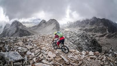
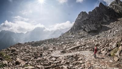
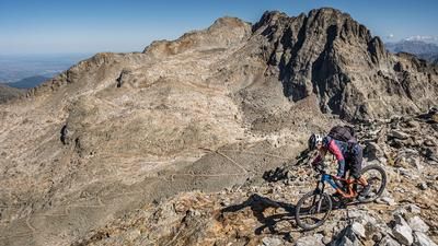
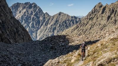
The starting point of the tour is Entracque. From here, the route continues on asphalt past Lago della Piastra and then steadily uphill towards Lago della Rovina. At Lago della Rovina, you are already nestled in the middle of the Maritime Alps, with the Bacino del Chiotas dam looking bizarre and surreal. From Lago della Rovina, the trek ends for the time being. Here you take the old ascent path, Direttissima, directly under the dam wall. Although the ground path, which runs in a wide curve to the outside, would serve as an alternative, it is currently being rebuilt (as of October 2022) and is closed until further notice. After a section of about 300 meters in altitude, you dive back into the path and pedal to the dam wall. Cross this and you have a fabulous view towards Rifugio Genova Figari and the Italian/French border at the back. You then continue pushing or carrying up to an altitude of around 2550 meters above sea level to the highest point of the tour, the Passo del Chiapous (Colle del Chiapous). You don't have to puzzle for long to get the answer that this is a Vallo Alpino trail. This path was built in the 1930s to secure the Italian border against France. Today, it and the associated facilities offer fantastic trail descents.
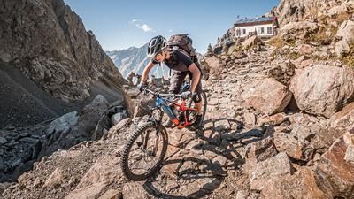
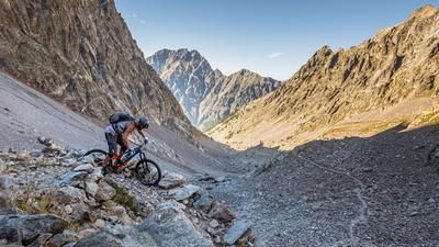
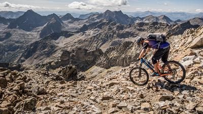
On reaching the highest point, the descent is already in sight. A challenging single trail of difficulty S3 to S4 leads down to the Rifugio Morelli Bozzi. Combined with hairpin bends and loose stones, full concentration is required here. From Rifugio Morelli Bozzi, the trail becomes a little easier but remains challenging. Only at the height of Lagarot di Lourousa does it suddenly change to S2 and then to S1. A magnificent trail descent is offered up again and the word trail surfing takes on a new meaning. Below the Terme di Valdieri, the trail ends on asphalt and you roll steadily downhill on this asphalt road towards Sant'Anna Valdieri. Shortly before San Lorenzo, you then take a path again and ride back to the starting point in Entracque on a mix of trails and side roads.
Tip: Shuttle with a local cab to Lago della Rovina
Map & GPX-Track
The map is only available to Ride subscribers.
The Ride-Subscription is available at ride-mtb.com/abo
.
Details of the tour
41 km
1830 m
1830 m
804 above sea level
2552 above sea level
1 day
Entracque
Entracque
2627
not suitable
More information
More tours nearby



User comments (0)

About the author: Martin Depauli
Note: This content has been automatically translated from German. Please report any incorrect translations.