

Humčič

Description
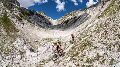
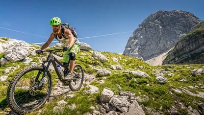
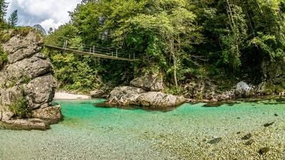
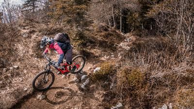
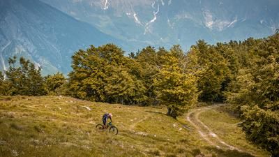
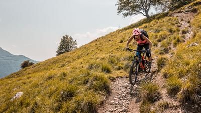
This tour starts in Bovec in the Soča Valley. From here, the route continues on asphalt for a few meters along the main road and then onto the first trail section at difficulty level S1/S2 until you cross the Koritnica. Continue along the main road again and at Kal-Koritnica turn onto a forest and meadow path and a flowing trail with difficulty S1 to the suspension bridge over the Soča. Head west along the Čezsoča and Jablenca roads until the uphill section begins. Follow a gravel road towards Humčič. Pedalling ends at around 650 meters above sea level. Here the bike is only pushed/carried up to the trail entrance. The trail then ends at an altitude of 900 meters above sea level, where the landslide on the slope originated. From here, a top trail leads through the beech forests directly to Jablenca. The limestone combined with the beech leaves and soil is typical of this region. The difficulty here is S2. Through Jablenca, take the trail cutter to the Soča and pedal along it. There are countless swimming opportunities here. Cross the bridge at Prijon Sport Center and take the last uphill section to Bovec.
Map & GPX-Track
The map is only available to Ride subscribers.
The Ride-Subscription is available at ride-mtb.com/abo
.
Details of the tour
17 km
580 m
580 m
372 above sea level
845 above sea level
1 day
Bovec
Bovec
2819
not suitable
More tours nearby



User comments (2)

About the author: Martin Depauli
Note: This content has been automatically translated from German. Please report any incorrect translations.
I can only confirm Manuel's comment from September 24, 2023. Unfortunately, we didn't read it until after the tour.
We started on 25.8. in the direction of Humicic. The half-day tour turned into a 6-hour ordeal. The uphill in the forest is (where still rideable) partly steep and with a lot of rubble very strenuous to ride, in the carrying passage it is often difficult to find the way at all. Hardly possible without GPS (and a few cairns), and also really dangerous in places. The downhill trail is quite exposed in places, some parts are S3 in my opinion, but in principle doable if....
... there weren't trees over the path at least 30 times both uphill and downhill. It was desperate, sometimes several trees were wedged into each other, we didn't know how to get through. It was a real slog. My wife then picked us up 3km before the end of the tour... So as long as the route is not cleared, it is absolutely not rideable. Since the trail and the hiking trail hardly seem to be used anymore due to the landslide, it is also questionable whether anything will be done at all...