

Golobar-Trail

Description
The tour starts in Kal-Koritnica near Bovec. From here, you roll down a relaxed flow trail to the Soča, cross it in typical Slovenian style with a suspension bridge and then cycle south along the river through Čezsoča on a cycle path. From Log Čezsoški, the path becomes gravelly and sometimes quite strenuous. The uphills on the rough gravel are particularly tough. Finally, you reach a settlement area below Drežniške Ravne near Jezerca. The route now continues on asphalt and later on gravel to the Planina Zapleč pasture. There are countless military buildings from the First World War at Planina Zapleč, as several Isonzo battles raged in this area. Some of the relics and remnants have been installed as an open-air museum and can be viewed here.
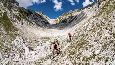
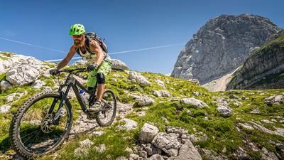
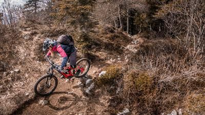
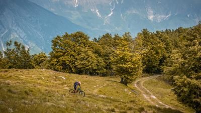
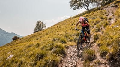
A few meters downhill on gravel before you reach the traverse to Planina Golobar. This section is exposed and the path is very narrow - you have to push a lot on this section. Be careful in wet conditions, only pass with good footwear! Finally, you have to climb another 100 meters in altitude on a single track that can be ridden again and again to reach the culmination point of the tour and the start of the Golobar Trail. A former soldier's trail with varying degrees of difficulty, but mostly on a flowing S2, a little steeper in places and with narrow S3 hairpin bends, leads down to the Soča on countless hairpin bends.
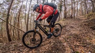
At the Soča, you have a fantastic view of the turquoise-green watercourse, which is reminiscent of the Caribbean. You then return to a relaxed forest and meadow trail before taking the uphill back to Kal-Koritnica.
Note: Mountain biking off official routes is prohibited in the Triglav National Park. This route contains such sections. Riding this route on a mountain bike is the responsibility of each individual, with awareness of the legal situation.
Map & GPX-Track
The map is only available to Ride subscribers.
The Ride-Subscription is available at ride-mtb.com/abo
.
Details of the tour
41 km
1400 m
1400 m
313 above sea level
1303 above sea level
1 day
Bovec
Bovec
2849
limited
More information
More tours nearby



User comments (1)

About the author: Martin Depauli
Note: This content has been automatically translated from German. Please report any incorrect translations.
Very nice trail descent, absolutely recommendable. However, the traverse to the trail ascent is not without its challenges; you should be free from giddiness and sure-footed in some places. On the initial ride down through the Soca valley, you could change to the road at the car bridge to Trnovo, the gravel road is rough and not very attractive. All in all a top tour!