

Mangart-Pass

Description
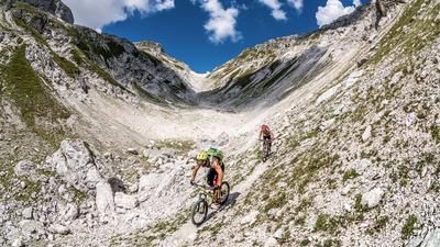
Start in the village of Log pod Mangartom. From here, the route climbs steadily uphill on asphalt to the end of the saddle. A road that was built in 1938 is still largely in its original condition today. Only a landslide in 2000 displaced a significant part of this road. The route is absolutely epic and beyond imagination, passing through rock needles and steep walls before finally reaching the highest point of the tour, the Mangart Saddle at over 2000 meters above sea level, with an incredible panorama. The saddle itself lies below the Mangart, the fourth highest mountain in the Triglav massif, and shows the definition of panorama from a different angle on the Italian/Slovenian border. More is probably not possible!
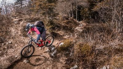
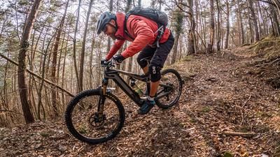
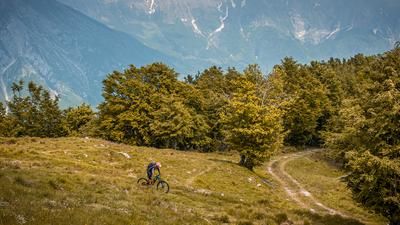
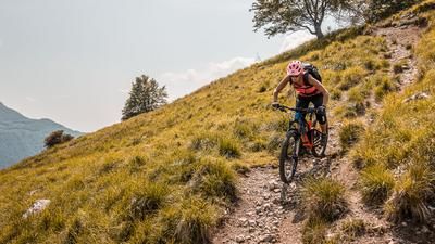
The descent is an interesting mix of difficulty levels from S2 to S4. It goes down an old wartime path, which is very difficult and challenging, especially in the middle section near the galleries, but is completely doable with enough experience and riding technique. It then becomes easier in the forest area from an altitude of 1300 meters above sea level. Above the village of Stremec na Predelu, it turns into a forest and meadow path and remains at difficulty level S1/S2, whereby this level is maintained until the starting point of the tour in Log pod Mangartom.
Note: Mountain biking off official routes is prohibited in the Triglav National Park. This route contains such sections. Riding this route on a mountain bike is the responsibility of each individual, with awareness of the legal situation.
Map & GPX-Track
The map is only available to Ride subscribers.
The Ride-Subscription is available at ride-mtb.com/abo
.
Details of the tour
25 km
1400 m
1400 m
658 above sea level
2035 above sea level
1 day
Log pod Mangartom
Log pod Mangartom
2821
well suited
More information
More tours nearby



User comments (0)

About the author: Martin Depauli
Note: This content has been automatically translated from German. Please report any incorrect translations.