

Stol Nord – Srpenica

Description
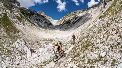
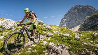
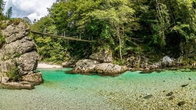
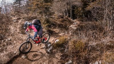
The start is in Kobarid. Generally speaking, the area in the Soča Valley and around Kobarid was heavily fought over during the First World War. As a result, there is a dense network of paths here, which has mutated into a trail paradise in the meantime. From Kobarid, the route is a relaxed mix of gravel roads, side roads and less frequented main roads to Sedlo. From Sedlo, you then take the military road from the First World War, which was used for supplies on the Stol, via the southern ramp. An eternal uphill now begins. High temperatures are to be expected here, especially in the summer months. Water is also in short supply. You fight your way up, metre by metre, reaching ever better panoramic views until you finally reach the saddle near Mali vrh below the Stol. The route then heads slightly towards the summit of Stol before taking the hiking trail at 90 degrees, which serves as a downhill. A mix of S1, S2 and S3 begins. Initially flowy and somewhat difficult to recognize, the trail descends across the meadows towards Srpenica. The further down you go, the more difficult it becomes, before reaching the highest level of difficulty just before the finish. At Srpenica you reach a dreamlike village center, which is in a deep sleep. You then cross the Soča and pedal along the gravel road towards Kamp Trnovo. There is also a short uphill section here. From Kamp Trnovo, the route climbs up Trnovo ob Soči briefly on the main road, then on side roads and finally along the Soča back to Kobarid, where the river can be used to cool off in the summer months. The water is crystal clear and turquoise in color - a true paradise.
Map & GPX-Track
The map is only available to Ride subscribers.
The Ride-Subscription is available at ride-mtb.com/abo
.
Details of the tour
44 km
1400 m
1400 m
221 above sea level
1430 above sea level
1 day
Kobarid
Kobarid
2656
well suited
More information
More tours nearby



User comments (2)

About the author: Martin Depauli
Note: This content has been automatically translated from German. Please report any incorrect translations.
Great tour. On the enduro bikes, the climb was long and a bit tough at the top, but beautiful. The descent is fantastic and quickly makes you forget the hardships of the climb. I highly recommend this tour!
Great tour, in my case starting from Podbela. The ascent is very long but no problem thanks to the E-MTB. The descent is entertaining and great fun! As described, it only gets more difficult at the end with tighter hairpin bends. In one short section there were about 5 whole trees on the route, which was very difficult to overcome with the E-MTB. KM 32 to 38 was currently a construction site and therefore not nice and extremely muddy with excavator ruts. Unfortunately, I had to skip the Soca section due to rain - it would certainly have been nice again. Thanks for the varied tour.