

Le Caïres Petit

Description
The route starts just below Château de Marie. The route initially climbs steadily uphill in long serpentines on asphalt to the small village. The ascent then continues on gravel - surrounded by typical Mediterranean vegetation with fragrant maquis, lavender and low shrubs. Meter by meter, you gain altitude until you finally reach the Col de la Séréna at 1307 m above sea level. Here you are already on the historic line of the Maginot defenses, built by the French as a military bulwark - several well-preserved bunkers and concrete structures bear witness to the turbulent history of this region.
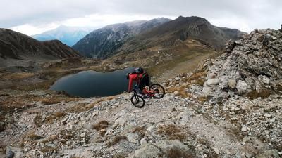
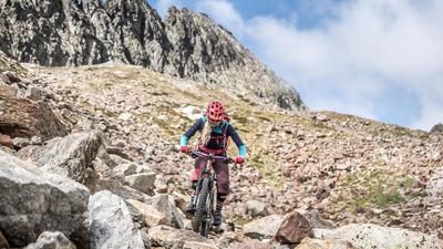
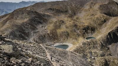
From the pass, the route continues - long but steady - uphill to the Col des deux Caïres. It is then only a few meters to the ridge, where there are more impressive bunker remains. Silent contemporary witnesses in concrete, surrounded by what is now a peaceful and panoramic landscape. The descent then begins - varied and long. Technically, the trail is between S2, occasionally S2+, interrupted by very flowing S1 sections. The trail rides over Mont Viroulet, where you reach a new trail section at around 1900 m above sea level. This is where the second, longer descent begins: the route leads back to the Col de la Séréna in well-designed serpentines, mostly at S2 level, but also S3 in places. The loose gravel requires careful line selection in dry conditions - especially in the flowing sections, where the temptation to increase speed increases. Riding with vision and control is the top priority here. After the col, you rejoin the ascent variant and roll back to the starting point on the familiar route.
Note: At the Pointe de Clamia, the tour can be varied - either by descending directly to Marie or via alternative connecting routes towards the valley.
Map & GPX-Track
The map is only available to Ride subscribers.
The Ride-Subscription is available at ride-mtb.com/abo
.
Details of the tour
34 km
1600 m
1600 m
405 above sea level
1885 above sea level
1 day
Marie
Marie
3570
well suited
More information
More tours nearby




User comments (0)

About the author: Martin Depauli
Note: This content has been automatically translated from German. Please report any incorrect translations.