

Cime de Méné

Description
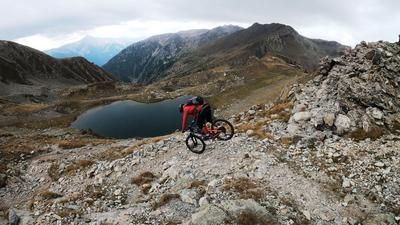
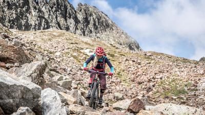
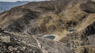
The route starts at the bunker complexes in the Mercantour National Park. The route begins with an uphill climb on gravel and asphalt along the main road toward the resort town of Isola 2000. The town is well-connected thanks to its modern infrastructure, but this loop only briefly passes through it. Soon, the route branches off toward a former military facility of the Vallo Alpino and climbs steadily toward Baisse de Merlier. Just before reaching it, you turn right and follow the climb to the highest point of the tour, the Cime de Méné. The summit is reached at just under 2,500 meters above sea level. The view is extremely impressive and extends far beyond the border region between Italy and France. Historically interesting is the fact that, due to border shifts following the end of World War II, the former military installations are now located on French territory. The descent also follows these historic installations. On a beautifully laid-out mule track—which was once part of the military infrastructure—you ride first above the tree line and later through sparse larch and spruce forests down into the valley. The trail is mostly rated S2 in difficulty, but requires precise riding technique due to several kick turns and tight hairpin bends. Finally, you reach the main road again, completing the loop.
Map & GPX-Track
The map is only available to Ride subscribers.
The Ride-Subscription is available at ride-mtb.com/abo
.
Details of the tour
15 km
730 m
730 m
1712 above sea level
2428 above sea level
1 day
Bunker Parc Mercantour
Bunker Parc Mercantour
3622
well suited
More information
More tours nearby





User comments (0)

About the author: Martin Depauli
Note: This content has been automatically translated from German. Please report any incorrect translations.