

Tête Grosse du Cheval

Description
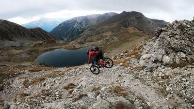
The starting point of the border tour between Italy and France is the pass road from the Italian side towards Isola 2000 at the height of Passo di Bravaria just before Rifugio Caramba. From there, the route climbs a few hairpin bends on asphalt to the Rifugio Carambo. The route continues up a military road from the Second World War to Passo Sant Anna (2308 meters above sea level). Breathtaking panoramic views and the first eagles and ibex can be seen in the area. There is no sign of hikers most of the time, as the area is relatively little frequented.
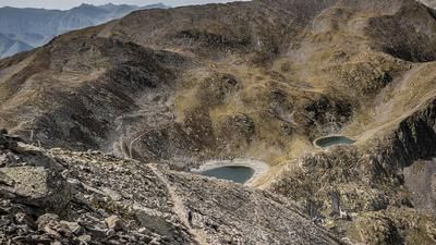
The route then descends southwards on a difficulty of S2 to S3 to the pass road on the French side. Here you reach another lost place surrounded by bunkers and buildings. You then reach the Colle della Lombarda (2351 meters above sea level) via Isola 2000 on an asphalt road. If you want to make a detour to the south, you will end up at a bunker of the Vallo Alpino, which offers a tremendous view of Isola and the surrounding mountains. You then return along the relatively easy ridge on a flow trail to the highest point, the Tête Grosse du Cheval (2331 meters above sea level). Here again, a fantastic panorama lies at your feet, with eagles and ibex crossing your path.
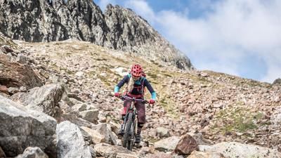
The route then leads back to the fork in the ridge on a flow trail, with the difficulty increasing more and more here. Up to the Rifugio Caramba you can expect a difficulty of S3, from the Rifugio Caramba then in places with S4 sections back to the starting point. If you want to avoid the end (because of the difficulties), you can cover the last few meters of altitude on the pass road. Conclusion: A very impressive tour that gives you a good insight into the Isola 2000 area.
Map & GPX-Track
The map is only available to Ride subscribers.
The Ride-Subscription is available at ride-mtb.com/abo
.
Details of the tour
30 km
1360 m
1360 m
1696 above sea level
2432 above sea level
1 day
Isola 2000
Isola 2000
2055
well suited
More information
More tours nearby








User comments (0)

About the author: Martin Depauli
Note: This content has been automatically translated from German. Please report any incorrect translations.