

Téte Merciére

Description
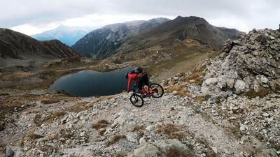
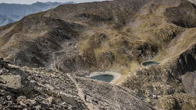
The tour starts in Isola 2000, a resort that presents a different picture in summer than in the winter months. It is quiet and sleepy. The tour begins with a steady but challenging ascent along the lift routes up to Col Merciére (2342 meters above sea level). As the area originally belonged to Italy, fragments of the Vallo-Alpino defense system can still be found today. From the pass to the summit of Téte Merciére (2491 meters above sea level), the trail can only be tackled by pushing in places. Once you reach the summit, you can get an idea of the situation. The tourist resort of Isola 2000 with its lifts lies centrally below you, while to the south, north and west lies a natural paradise that is second to none.
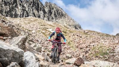
After a break, head east for the descent. On a historic path, you wind your way down to the height of the lifts and reach a difficulty of S2, in places S3. From this point, you enter one of the many bike park variants of Isola 2000, winding your way back to the starting point on shaped trails, jumps and berms. Conclusion: All in all, a short tour, but with its 2.5 kilometers of singletrail it is acceptable for an introductory tour. If the lifts are open, it is possible to repeat the tour or try out the other trail routes.
Map & GPX-Track
The map is only available to Ride subscribers.
The Ride-Subscription is available at ride-mtb.com/abo
.
Details of the tour
9 km
480 m
480 m
1991 above sea level
2447 above sea level
1 day
Isola 2000
Isola 2000
2167
well suited
More information
More tours nearby





User comments (0)

About the author: Martin Depauli
Note: This content has been automatically translated from German. Please report any incorrect translations.