

Monte Pizzocolo
Description
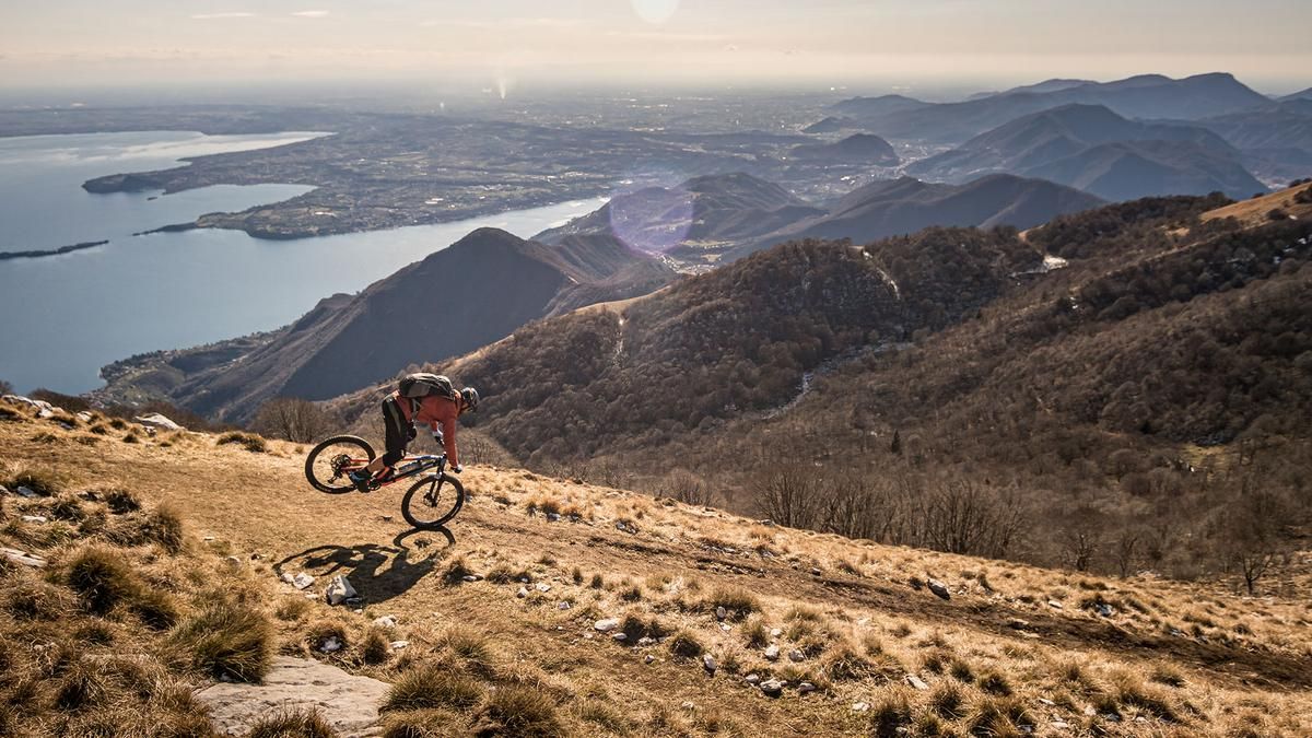
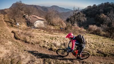
The route starts in the town of Saló at the southern tip of Lake Garda. You start in the beautiful old town and wind your way up the beautiful serpentine road to Colomber on asphalt and a gentle incline. From the small hamlet of Colomber, the roll-in phase is over. The route is extremely steep and on rough terrain up to the famous Passo di Spino (1184 meters above sea level). From here, take the Strada militare delle Merle, which rides almost all the way to the summit. You only have to push for the last few meters before you reach the summit of Monte Pizzocolo at 1581 meters above sea level. A breathtaking view in all directions is the result of the tough climb.
The upper part of the descent follows the ascent route (difficulty S2) and includes some trail cut-offs up to above the Passo di Spino (difficulty S3). From here, turn onto the Strada vicinale dello Spinone and take the trail cut-offs to the parking area before continuing on the Sentiero di Napassino at S1 level. The next checkpoint is Sant'Urbano. From there, it's on to the next trail stage and back to the village of Colomber on difficulty S2. Riders and brakes can recover a little on the counter-climb before returning to the starting point on a historic path through the Val di Silvano. Initially on difficulty S2, then getting easier and easier to difficulty S1. In Saló, you can still enjoy the fantastic view of Monte Baldo and the lake in the evening sun. All in all, this is a great all-mountain and enduro tour, which is particularly impressive at the summit thanks to the view of Monte Baldo and the Altissimo area as well as the Adamello group and Lake Garda.
Map & GPX-Track
The map is only available to Ride subscribers.
The Ride-Subscription is available at ride-mtb.com/abo
.
Details of the tour
39 km
1710 m
1710 m
75 above sea level
1543 above sea level
1 day
Vantone
Vantone
2246
well suited
More information
More tours nearby






User comments (0)

About the author: Martin Depauli
Note: This content has been automatically translated from German. Please report any incorrect translations.