

Passo del Mulo

Description
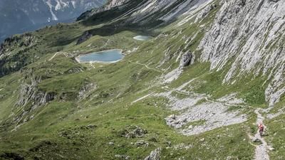
The tour starts at the Camping Valvisdende campsite. From there, the route rides along the Strada Regionale 355 along the River Piave on asphalt to Sappada. The climb up to this point is not a major challenge and the gradient is relatively easy to manage. However, this changes drastically further on. The path to Rifugio 2000 is extremely steep on asphalt and requires continuous effort without breaks. You then have to either carry or push your bike to reach Casera Olbe or Laghi d'Olbe. On this section, it becomes increasingly clear that the area was the scene of fierce mountain battles during the First World War. Countless remains, paths and embrasures still bear witness to this time.
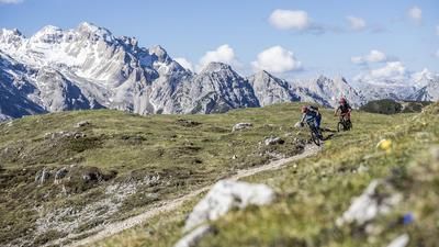
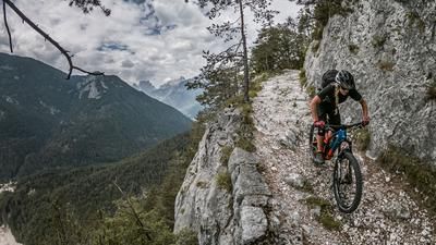
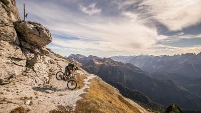
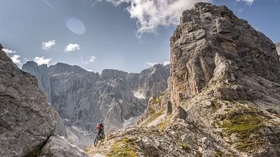
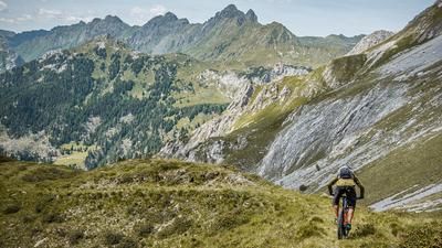
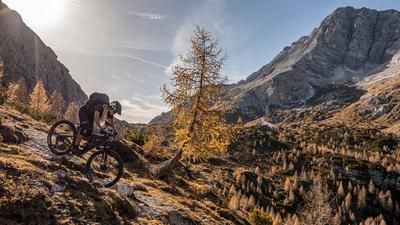
Past the Laghi d'Olbe, the trail continues pushing and carrying as far as the Passo del Mulo. This pass marks the highest point of the tour and the start of the trail section, which has a difficulty of S2 to S3 depending on the weather conditions. The hairpin bends on loose gravel in particular can become significantly more challenging after heavy rain or thunderstorms. The descent continues in the same manner down to Torrente Cordevole. Finally, the last few meters are back on asphalt at the Ristorante Bar Da Plenta. The final kilometers back to the starting point are relaxed and only serve to coast back to the campsite.
Map & GPX-Track
The map is only available to Ride subscribers.
The Ride-Subscription is available at ride-mtb.com/abo
.
Details of the tour
27 km
1320 m
1320 m
1025 above sea level
2308 above sea level
1 day
Campolongo
Campolongo
3211
not suitable
More information
More tours nearby



User comments (1)

About the author: Martin Depauli
Note: This content has been automatically translated from German. Please report any incorrect translations.
Our BnB is located about 60 minutes by car from the starting point of this tour and directly on the trail area of Gemona of Friuli.
https://www.bnb-bondigemona.ch/