

Cima Palombino

Description
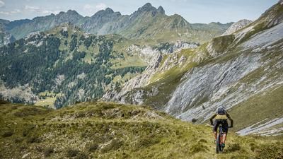
The route starts just below Malga Melin, at Torrente Digon. The ascent begins with a moderate gradient on asphalt, soon changes to gravel and continues uphill past Malga Melin. The higher you get, the steeper the path becomes - the ascent to the Porzescharte requires strong legs and stamina. The notorious concrete ramps are scenically impressive, but can only be mastered by hardy riders in the saddle.
Shortly before the Porzescharte, keep right onto the old Alpini trail. From here, the mountain bike is shouldered. A steep gravel gully leads up through typical Dolomite limestone. Alpine experience, surefootedness and a head for heights are essential here. Important: Do not follow the Austriasteig trail - this ends in a via ferrata and is not passable by mountain bike.
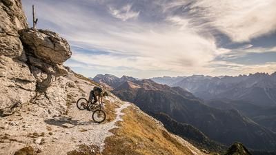
After the selective ascent, you reach the historic Alpini trail, which crosses the entire ridge. The views are spectacular: from the Sesto Croda Rossa over the peaks of the Carnic Alps to the Porze. The summit is marked with two crosses and marks the highest point of the tour at almost 2,600 meters above sea level. The panorama is breathtaking - from the Grossglockner to the Grossvenediger, the Dolomites, Friuli and the Kanin, you can see a large part of the Eastern Alps.
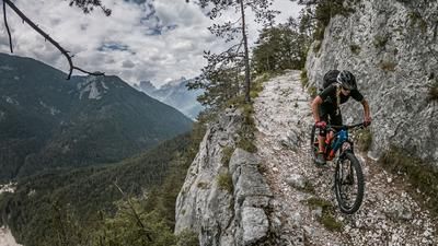
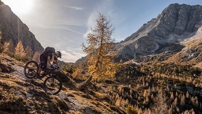
The descent is a tough one: exposed, technically demanding and sometimes very steep - the trail is mainly in the S3 range, and in places even S4. Personal responsibility is required here - depending on ability and conditions, you can (or should) push in several places. In the middle section at around 2400 meters above sea level, a short pushing passage should be planned, depending on the condition of the trail.
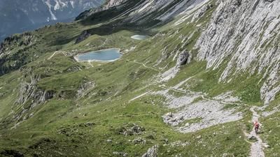
From Passo Palombino, follow the 142 trail. From here there are two options: Either follow the trail to La Salétta and cross back to the starting point via the cycle route, or - as recommended in the GPX track - take the 165er-Sentiero. This easy path (difficulty S0 to S1) leads directly to Malga Melin, from where you can cycle back on the familiar route.
Conclusion: An impressive and challenging Alpine tour with spectacular views, a historical background and a high Alpine character. Sure-footedness, a head for heights and sturdy equipment are a must here.
Map & GPX-Track
The map is only available to Ride subscribers.
The Ride-Subscription is available at ride-mtb.com/abo
.
Details of the tour
14 km
1055 m
1055 m
1469 above sea level
2531 above sea level
Sega Digon
Sega Digon
3538
not suitable
More information
More tours nearby





User comments (0)

About the author: Martin Depauli
Note: This content has been automatically translated from German. Please report any incorrect translations.