

Passo della Digola

Description
The tour starts in Campolongo, a small village near Santo Stefano di Cadore. From here, the route climbs steadily uphill along the Torrente Frison on a former military road. Over the course of time, the river has created impressive erosion landscapes, the massive incisions of which are still clearly visible today.
In the Presa area, turn left and follow a forest road through densely wooded areas uphill towards the Digola Pass. At around 1550 meters above sea level, you reach a drinking water point - a good opportunity for a quick refreshment. It is only a few meters to the pass, but if you want, you can extend the tour here and complete the rest of the ascent on a forest road.
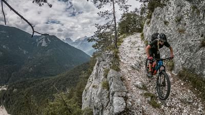
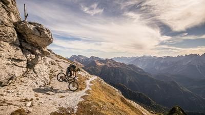
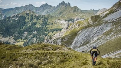
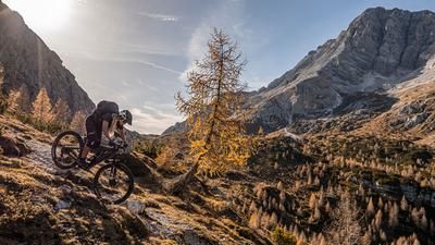
The descent then begins, framed by the southern Carnic Alps. The first few meters are perfect for getting used to the brakes before the trail becomes increasingly challenging and levels off at difficulty S1-S2. The Sentiero 313 rides through gently embedded forest passages and finally winds its way back to the starting point in Campolongo. A varied tour with a successful mix of historical paths and natural landscape impressions.
Map & GPX-Track
The map is only available to Ride subscribers.
The Ride-Subscription is available at ride-mtb.com/abo
.
Details of the tour
10 km
590 m
590 m
945 above sea level
1541 above sea level
Campolongo
Campolongo
3395
well suited
More information
More tours nearby





User comments (0)

About the author: Martin Depauli
Note: This content has been automatically translated from German. Please report any incorrect translations.