

Forcella Piria - Vall Antelao

Description
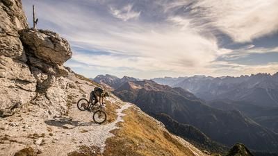
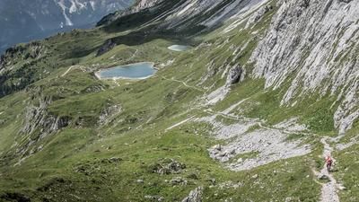
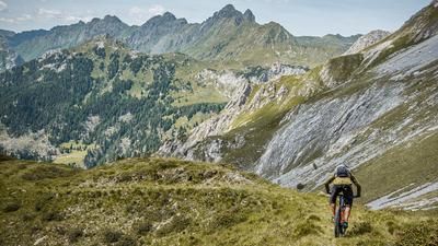
The starting point is the village of Calalzo di Cadore. From here, the route follows the old railroad track, which has now been converted into a cycle path, below Monte Ricco and climbs steadily up an old military road towards Monte Tranego. The ascent is constant, but the panorama and the many bends offer some variety. Afterwards, a few meters in altitude have to be covered on gravel towards Forcella Antracisa before continuing to the Rifugio Antelao at almost 1800 meters above sea level. The Rifugio Antelao is the perfect place to stop for refreshments before tackling the last few meters of altitude to the pass. At the beginning, the bike has to be pushed or carried a little, but later sections can even be pedaled. At Forcella Piria, you are surrounded by the Dolomites. To the north, Monte Antelao rises to almost 3,300 meters above sea level and the Val Antelao, where the descent begins.
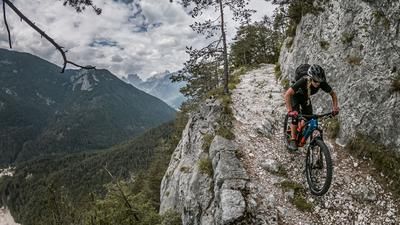
At difficulty levels S2 to S3, the route is relatively challenging towards Cason Antelao. Then along the flat valley floor and on difficulty S2 to S3, in places S4, down into the Val d'Oten. Once at the bottom of the valley, a few valley paths are taken before the crossing towards Grea and finally the trail finale on S1 to S2 to the starting point. All in all, a challenging enduro tour that is also relatively easy to do on an e-mountainbike. The only drawback is a short, intense pushing section after the Rifugio Antelao.
Map & GPX-Track
The map is only available to Ride subscribers.
The Ride-Subscription is available at ride-mtb.com/abo
.
Details of the tour
28 km
1450 m
1450 m
734 above sea level
2063 above sea level
1 day
Calalzo di Cadore
Calalzo di Cadore
2636
limited
More information
More tours nearby





User comments (1)

About the author: Martin Depauli
Note: This content has been automatically translated from German. Please report any incorrect translations.
All in all, a very cool tour.
The panorama on the ascent and descent is amazing.
The trails are also varied and great fun...