

Monte Lastroni (Scheibenkofel)

Description
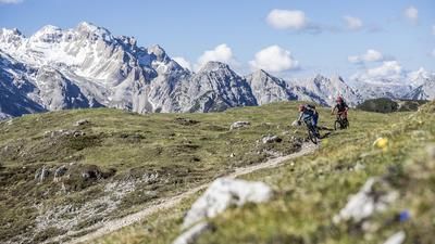
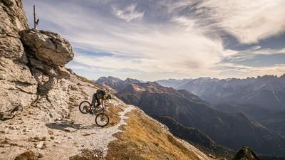
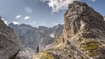
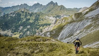
The tour begins in Sappada, with a steep and merciless climb up the ski slope towards Ristorante Gosse. The gear choice here is clear and falls on the largest sprocket at the back to somehow master this challenge. Alternatively, the chairlift to Ristorante Grosse can be used by prior arrangement. From Ristorante Gosse (1847 meters above sea level), you can continue for a few more meters on the 135 path towards Lago Olbe, where you will soon have to push and carry your bike. Once you arrive at the church and the mountain lake, a mighty mountain world in the middle of the Dolomites opens up and gives hope for good things to come. Towards the summit, which lies at around 2500 meters above sea level, you can see the old military paths and can guess that they have mutated into a trail network today. The route continues along lost places until just below the summit, where the positions from the devastating First World War stand as a reminder. From here, the bike has to be briefly carried or pushed through a section in order to master the last few meters to the summit. This section cannot be ridden downhill either. At the summit, you can enjoy a 360-degree panoramic view from Hochweißstein in the north, across the Carnic Alps to the Dolomites.
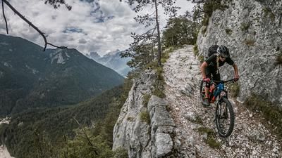
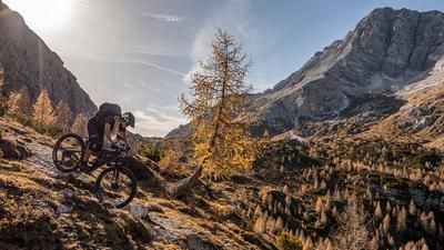
After a rest at the summit, the route follows a trail with a difficulty level of S2 to S3 down the 138er trail via Casera d'Olbe and then along the Rio della Miniera. The trail is in good condition and was reactivated and refurbished a few years ago, making it perfect for a trail adventure. In Valle di Sesis, you cross the Piave River, which has its source not far from here. There are always trail cut-offs here before you are ejected in Cima Sappada. From here, you take the 318 trail section to Sappada to complete the tour. All in all, a great day's adventure with a fantastic mountain lake that invites you to swim in high temperatures.
Map & GPX-Track
The map is only available to Ride subscribers.
The Ride-Subscription is available at ride-mtb.com/abo
.
Details of the tour
12 km
1235 m
1235 m
1227 above sea level
2382 above sea level
1 day
Sappada
Sappada
2031
not suitable
More information
More tours nearby



User comments (0)

About the author: Martin Depauli
Note: This content has been automatically translated from German. Please report any incorrect translations.