

Forcella Ciadin Alto Ovest

Description
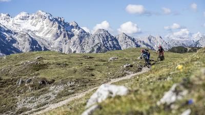
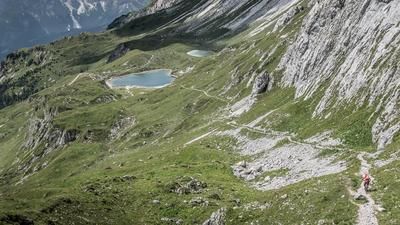
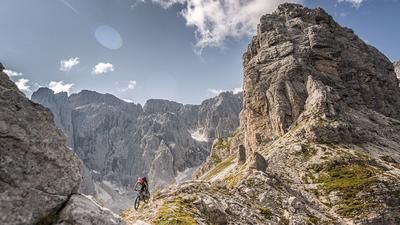
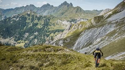
The starting point of the tour is the village of Pelos di Cadore (785 meters above sea level). From here, the route leads away from the hustle and bustle along the Rio di Laggio to Laggio di Cadore. You then pedal on asphalt towards Selva di Vigo and turn onto the former military road known as Sentiero 330 below Dosso Zergolon. From here, the leisurely uphill is over. Steep and with a poor surface, you fight your way up metre by metre before the path becomes narrower and turns into a trail. The Sentiero 330 then takes you up to the Bivacco Giovanni Spagnolli (2047 meters above sea level). Magnificent views of the mountains and breathtaking landscapes are possible here. From the Bivacco Giovanni Spagnolli it gets even more spectacular. A former Alpini trail rides up to the saddle (2285 meters above sea level). Goosebump feeling: a high alpine flair that makes up for any uphill.
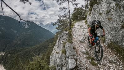
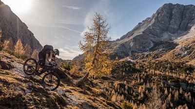
The descent runs from the Forcella Ciadin Alto Ovest down the entire 330 Sentiero to the wide military road. In the upper section, the trail is somewhat exposed in places with an alpine character. All kinds of weather and erosion damage must also be taken into account here. At difficulty levels S1 to S2, the route continues in the same manner back to the Strada Militare Starezza-Pramossei as far as the Bivacco Giovanni Spagnolli. This is then taken as an intermediate uphill and rides to Pramossei. During this ascent, you have a magnificent view of the Three Peaks from the clearings. The last trail finale is just as magnificent. At Pramossei, an inconspicuous Sentiero begins, which steadily increases in difficulty and finally reaches S4. However, this short section can be easily pushed off. You then cross to the hamlet of Adies on a forest road and then take an old mule track towards Laggio di Cadore. This is somewhat washed out in places, but there is a somewhat easier path running parallel to it that provides flow. In Laggio di Cadore, you then take the cut-off via Pritine and return to the starting point.
Conclusion: a magnificent tour that is also relatively easy to do on an e-bike, as the uphill is pedalable except for a few places up to Forcella Ciadin Alto Ovest. However, erosion damage to the paths must always be taken into account.
Map & GPX-Track
The map is only available to Ride subscribers.
The Ride-Subscription is available at ride-mtb.com/abo
.
Details of the tour
27 km
1550 m
1550 m
767 above sea level
2217 above sea level
1 day
Pelos di Cadore
Pelos di Cadore
2635
limited
More information
More tours nearby



User comments (0)

About the author: Martin Depauli
Note: This content has been automatically translated from German. Please report any incorrect translations.