

Wetzelhütten-Trail - Bärenfelsen-Trail

Description
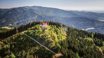
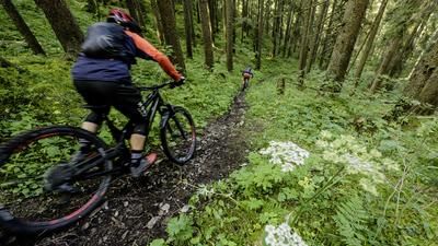
The Wetzelhütten Trail is the first destination of the day. From Hornberg, you climb up a gravel road and reach the Schondelgrund valley floor. A stretch of asphalt is on the cards, before continuing uphill on a gravel road towards Fohrenbühl. The route then bears left to the Mosenberg, from where you reach the Schondelhöhe - the starting point of the first descent of the day - via a typical Black Forest plateau. After the start on a gravel road, the first-class trail follows along the ridge, with a few hairpin bends at the Wetzelhütte in the lower section. The trail finally leads onto the gravel road that you rode up earlier. Roll along this to Schondelgrund and climb up the asphalt road to Schondelhöhe. Now you have to cover the last few meters of altitude to the windmill, with the Bärenfelsen trail starting directly in front of the motocross track. And the first few meters are crisp: stones, steps and hairpin bends make the first section a challenge. But then the trail quickly becomes smoother and leads past the ruins of the Markgrafenschanze down to Hornberg. In the lowest section, there are a few more switchbacks to master.
Tip: Combine these two trails with the rock trail tour - this makes for an exceptional day tour full of single trails.
Note: The tour is located in Baden-Württemberg with the legal requirement of a two-meter rule. This tour contains elements that do not comply with this regulation. Rather, it reflects routes that are ridden by local mountain bikers. Compliance with the regulations is the responsibility of each individual mountain biker.
Map & GPX-Track
The map is only available to Ride subscribers.
The Ride-Subscription is available at ride-mtb.com/abo
.
Details of the tour
24 km
900 m
900 m
360 above sea level
868 above sea level
1 day
Hornberg
Hornberg
2356
well suited
More information
More tours nearby




User comments (2)

About the author: Thomas Giger
Note: This content has been automatically translated from German. Please report any incorrect translations.
Rode today - nice, mostly easy trail tour, I added the rock trail tour as a supplement. That's quite a route. Thanks for this tour.
To add to Angela's comment: the first section of trail is no longer a trail due to the forestry work, but you can ride through it without any problems.
Ridden on 01.09.22. The first big loop is very scenic, but as the first 1.2km of the trail descent (altitude 824-700m) is destroyed by forestry work, you could shorten it and join the trail directly at km 12.3.