

Rohrhardsberg - Braunhörnle

Description
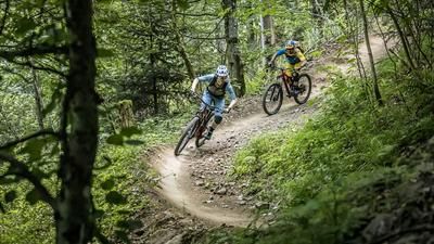
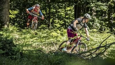
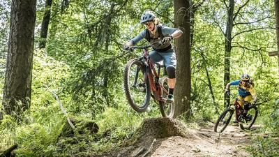
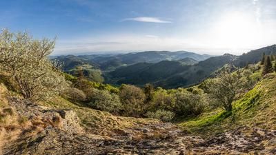
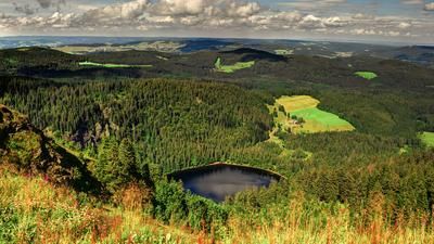
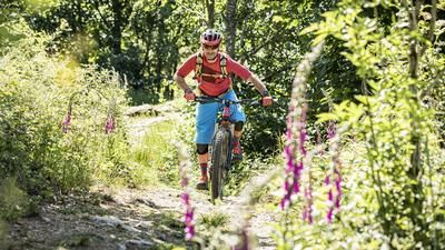
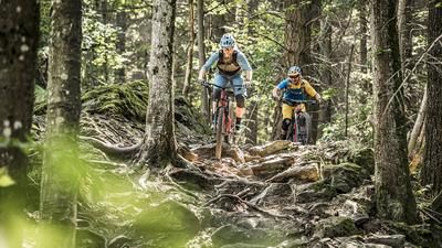
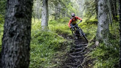
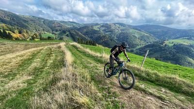
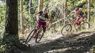
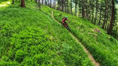
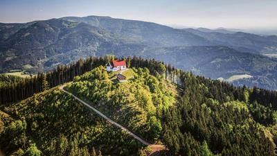
The route starts in Elzach. The Rohrhardsberg is the region's local mountain and the ascent (790 vertical meters) rides through the Yachtal valley, initially on asphalt, then on gravel up to the top. However, the actual culmination point has not yet been reached. This is at Braunhörnle (1134 meters above sea level). A rideable single trail leads up to the summit. The summit is the starting point of the long descent, with a few additional meters of elevation gain at Tafelbühl. In a wonderful mix of flowing trails and gravel sections, serpentines and fast passages, roots and smooth forest floor, you descend directly to the outskirts of Elzach, where you finally cover the last few meters on the same route as the ascent back to the town center.
Note: The tour is located in Baden-Württemberg with the legal requirement of a two-meter rule. This tour contains elements that do not comply with this regulation. Rather, it reflects routes that are ridden by local mountain bikers. Compliance with the regulations is the responsibility of each individual mountain biker.
Map & GPX-Track
The map is only available to Ride subscribers.
The Ride-Subscription is available at ride-mtb.com/abo
.
Details of the tour
21 km
890 m
890 m
364 above sea level
1153 above sea level
1 day
Elzach
Elzach
2363
well suited
More information
More tours nearby








User comments (0)

About the author: Thomas Giger
Note: This content has been automatically translated from German. Please report any incorrect translations.