

Brombeerkopf

Description
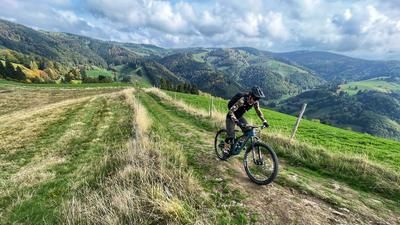
The first part of the Brombeer tour is the same as if you were riding the well-known Boarderline trail. It climbs 450 meters uphill on gravel roads to the Rosskopf, where most mountain bikers switch to downhill mode. However, the Boarderline trail is not for beginners and less experienced riders are always pushed to the limit. The (unofficial) descent from the Brombeerkopf is highly recommended. The short descent from Rosskopf to Ochsenlager gives you a first taste of what's to come - a flowy fun ride, but one on which many bikers also ride uphill - so be careful! Next up is the Kandelhöhenweg, a mix of trails and gravel roads. You roll eastwards on this, generally ascending but with a few short descents or flat sections. Finally, you switch to the north side of the ridge and climb the inconspicuous Brombeerkopf from here. The summit is unspectacular and no one will miss anything if they skip it and head straight from the ridge over the Eschbacher Höchst to the descent.
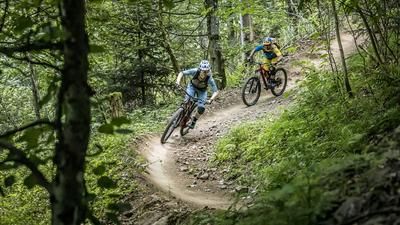
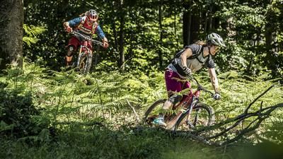
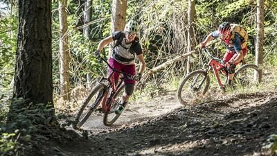
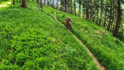
The descent initially follows the ridge - flowing, fun, winding. No one needs to risk their neck here to get a good flow. After the Flaunser, you follow the Kandelhöhenweg trail again for a while (in the opposite direction to the ascent) and finally follow the Flaunser ridge down into the valley. The character remains unchanged: flowy, varied and without any nasty surprises. Only in the lower section are there a few sharp hairpin bends, which only the most experienced trial artists can manage anyway. If you descend briefly, you won't drop a stone. Once you reach the bottom of the valley, you roll back into the city center of Freiburg on bike paths.
Note: The tour is located in Baden-Württemberg with the legal requirement of a two-meter rule. This tour contains elements that do not comply with this regulation. Rather, it reflects routes that are ridden by local mountain bikers. Compliance with the regulations is the responsibility of each individual mountain biker.
Map & GPX-Track
The map is only available to Ride subscribers.
The Ride-Subscription is available at ride-mtb.com/abo
.
Details of the tour
33 km
910 m
910 m
281 above sea level
876 above sea level
1 day
Freiburg i.B.
Freiburg i.B.
2310
well suited
More information
More tours nearby





User comments (1)

About the author: Thomas Giger
Note: This content has been automatically translated from German. Please report any incorrect translations.
The ascent from Freiburg rides along a forest road that starts at the last houses. Just to the left of the forest road is the start of an uphill trail that crosses the forest road several times: easy to ride and more interesting than the forest road. It winds its way up the slope through the forest for several kilometers. In between, there are steep ramps that you can just about push through.
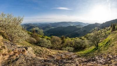
We took an uphill hiking trail twice as a shortcut or for a change - very worthwhile. At the wind turbines, it's worth scrambling up the 10 storeys of the observation tower. You have a wonderful view from up here!
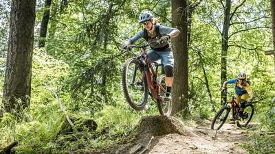
After that, there are 2 beautiful trails where you shouldn't touch the brakes - the flow and adrenaline will come naturally😊. Short trails alternate with longer forest roads. Finally, you have to push up the last 100 m before the Brombeerkopf on a very steep and overgrown ramp - not a walk in the park. The detour to the Brombeerkopf is not really worthwhile as it is in the middle of the forest and there is no view. But there is a summit book and a cross with a good motto for life (which I won't reveal here).
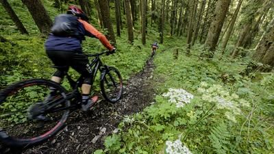
Here too, the trails alternate with rough gravel paths. And just when we thought there was nothing nice about this section, we were rewarded again with a beautiful narrow trail riding through the dense forest.
All in all, it was well worth it. The trails are not particularly difficult.