

Müllheimer Trail Tour

Description
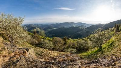
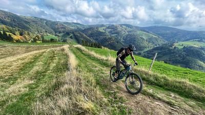
The Müllheim Trail Tour is based in Müllheim, which is somehow logical. On this route, almost all of the elevation gain is achieved right at the start. To do this, you first cycle to Niederweiler and then continue up the road to the Hochblauen. We skip the summit ride and follow the road at the junction to the pass called Egerter Hütte. So far it's all on asphalt. This now changes rapidly. The following meters ride uphill on a trail. Many people push a little here, but mountain bikers with strong calves or an electric motor can also manage the section by riding. Finally, you reach the largely flat and super-flowing single trail, which follows the ridge in an easterly direction with difficulty levels S0 to S1. This takes you to the Kreuzweg and then up to the Weiherkopf. This inconspicuous summit is the starting point of the long, long, long singletrail descent to Grunern.
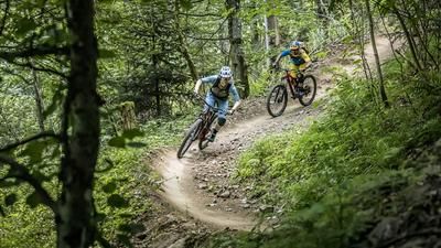
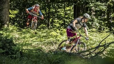
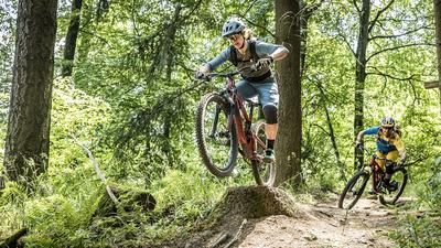
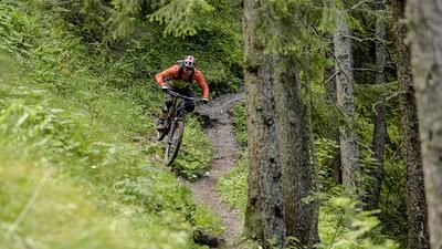
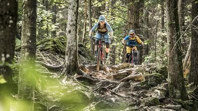
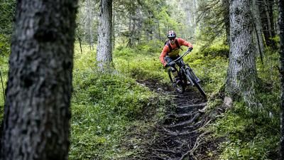
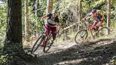
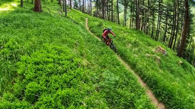
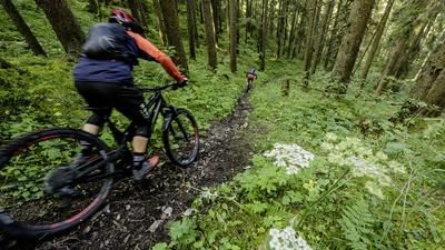
The first few meters from the summit are a little tricky because the terrain is very steep, then another one of those super flowy Black Forest trails begins. At S1 level, you surf to the Kälbelescheuer and immediately tackle the next trail. What follows is a constant alternation of trails and gravel roads, flat sections, descents and individual (short) climbs. Everything is included, especially the single trails, which make up the character of this section. After Gabler Eck, it's primarily downhill, almost exclusively on trails. This brilliant section leads down to Grunern. Predicate: top!
If you're at the end of your tether in Grunern, take the country road to Heitersheim station and the regional train back to Müllheim. For everyone else, the transfer back to Müllheim is another small feat of strength. The route first leads through the forest, later through the vineyards, but always with ups and downs, sometimes on trails, then again on gravel roads and finally as an asphalt cycle path back to the center of Müllheim.
Note: The tour is located in Baden-Württemberg with the legal requirement of a two-meter rule. This tour contains elements that do not comply with this regulation. Rather, it reflects routes that are ridden by local mountain bikers. Compliance with the regulations is the responsibility of each individual mountain biker.
Map & GPX-Track
The map is only available to Ride subscribers.
The Ride-Subscription is available at ride-mtb.com/abo
.
Details of the tour
46 km
1255 m
1255 m
256 above sea level
1132 above sea level
1 day
Müllheim
Müllheim
2355
well suited
More information
More tours nearby








User comments (2)

About the author: Thomas Giger
Note: This content has been automatically translated from German. Please report any incorrect translations.
Absolutely super tour, we rode it on 22.4.23. Great, easy, flowing trails, not very busy... Absolutely recommended.
Did the tour on August 26, 2022. The long descent with what feels like 95% trail share is really a dream, unless you're looking for technical routes. Extremely flowy and fast to ride, narrow paths alternate with slightly wider ones. The trail from the summit is almost 20 km long and almost never ends, super! I didn't meet another bike and at most 6 hikers (all friendly). I will repeat the tour as soon as possible.
For bikers from the Basel region it is really highly recommended as an alternative to the well-known trails around Basel where there is often a lot of hustle and bustle. Many thanks Thomas Giger!