

Hochblauen

Description
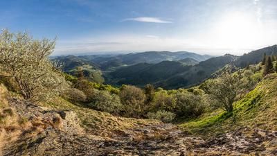
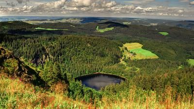
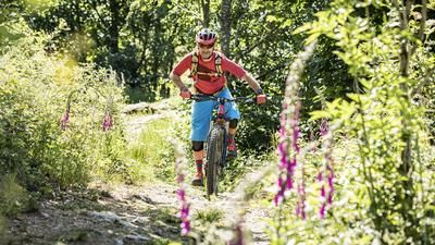
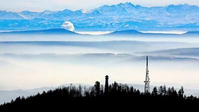
The starting point of the route is Müllheim (267 meters above sea level) between Freiburg and Basel. You roll along country roads with little traffic to Badenweiler and then change to gravel roads in the forest. The long and moderate ascent towards Kreuzweg awaits. At 1060 meters above sea level, you reach the ridge and thus the first culmination point of the tour. This is followed by a wonderful, almost flat and exceptionally flowing single trail (S0) along the ridge. The trail is almost five kilometers and in the second part with a little more roots but still super flowy (S1). The trail rides in this manner all the way to the Egertenhütte, the starting point of the final ascent to the Hochblauen. It is 230 vertical meters on gravel roads to the summit with the observation tower and the exceptionally situated inn. The panorama up here is fascinating and encompasses the entire southern Black Forest, the High Rhine, the Basel region, the Vosges and, on a clear day, the main Alpine ridge - a long stop here is a must!
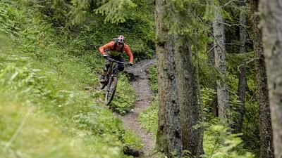
The descent back to Niederweiler near Müllheim consists almost exclusively of single trails and is a great experience, especially for those who are not always looking for a big technical challenge. The trails are all very flowing and the hairpin bends are easy to ride. Few roots, hardly any ledges, but lots of unadulterated flow fun at S1 level. Only at the "Alter Mann" is the trail a little crisper for about 30 meters, but then it's pure flow again. After the Hausbaden Clinic, the main part of the descent is mastered and you roll a short stretch on asphalt, after which the final section consists of a mix of trails and gravel roads. The descent ends on the outskirts of Müllheim.
The area around the Hochblauen is also very popular with hikers. A particularly considerate riding style applies here and ideally you should avoid times when many hikers are out and about.
Note: The tour is located in Baden-Württemberg with the legal requirement of a two-meter rule. This tour contains elements that do not comply with this regulation. Rather, it reflects routes that are ridden by local mountain bikers. Compliance with the regulations is the responsibility of each individual mountain biker.
Map & GPX-Track
The map is only available to Ride subscribers.
The Ride-Subscription is available at ride-mtb.com/abo
.
Details of the tour
35 km
1090 m
1090 m
265 above sea level
1159 above sea level
1 day
Müllheim
Müllheim
2354
well suited
More information
More tours nearby




User comments (2)

About the author: Thomas Giger
Note: This content has been automatically translated from German. Please report any incorrect translations.
We rode the tour today (6.7.24). The ascent was pleasant. We got as far as the Rüttenkopf junction, after which the forest road was closed due to forestry work. Since the weather was about to change anyway, we decided to take the shortcut directly south to the main road. As a result, we completely missed the loop to the right.
At the top, it soon became gloomy and the first gusts of wind tugged at our jackets and it started to rain. To access the trail, we had to go through the restaurant's closed construction site and move a gate to get onto the hiking trail.
The trail is very easy to ride - even in wet weather. We covered longer sections on forest paths where the remains of forestry work could be found.
Maybe it was a bit due to the bad weather - the tour goes into the "Nice - but don't need to ride it again" category.
I rode the tour on 03.09.2023 and was on the Blauen at 3 pm. There were only a few hikers and crossing or overtaking was no problem if you were considerate.
At the exit of Badenweiler, I had accidentally taken the path that went further up and therefore rode quasi-parallel a little higher than the planned route but still with a pleasant gradient up, around the hill "Beim alten Schloss" and rejoined the original route about 1 km before the Rüttekopf. The climbs are pleasant throughout and the first singletrail and the descents are really great and flowy. As is, of course, the view from the tower on the Blauen. The restaurant and kiosk are currently closed due to renovation work. The bridge at the "Alter Mann" has also been closed since June (until after the repairs, which have not yet begun), which is why the section there cannot be ridden. This can be easily bypassed in a southerly direction on an equally flowing hiking trail with a few hairpin bends (S0).
All in all, a great and flowing tour in the Black Forest!