

Feldberg - Schädelweg

Description
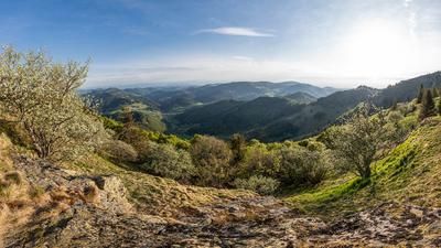
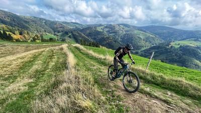
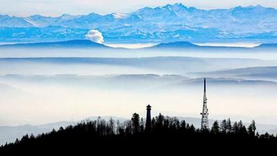
Start in Kirchzarten with the train ride up to Titisee. This saves you almost 500 meters in altitude, after all. From Titisee, you follow the road along the lake in the direction of Feldberg. Immediately after the road climbs to Feldberg-Bärental, we stay on the right-hand side of the valley floor and climb the Feldberg on a traffic-free gravel road through the lovely valley with the Feldsee lake at the head of the valley. After the Feldsee, the route climbs a little more steeply but always with a pleasant gradient to the valley station of the Feldbergbahn. The final section up to the Feldberg summit (1493 meters above sea level) is asphalted. Here you can enjoy the fantastic view of the Upper Black Forest. On a clear day, you can even see the Swiss Alps.
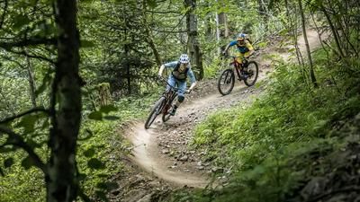
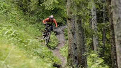
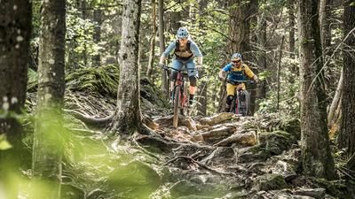
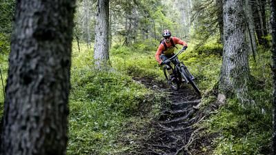
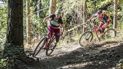
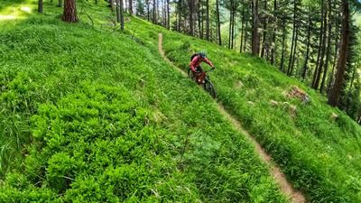
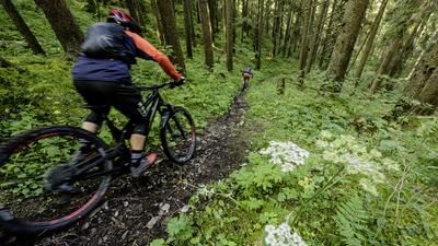
The view is spoiled by no-biking signs. On the Feldberg, all downhill routes except the asphalt road are decorated with them. You can either ride back on this asphalt road and roll along small roads via Todtnauer Hütte to St. Wilhelmer Hütte. However, the route directly down from the summit to the St. Wilhelmer Hütte is very wide and respectful treatment of hikers (who are quite numerous here) is possible. After the hut, the continuation of the ride is easy, with a 500-metre descent to St. Wilhelm. Fast, smooth, but sometimes rough and rooty, this is how you reach the valley floor, then follow the traverse path to the gravel road that rides back up to the ridge. The reason for this ascent is the Schädelweg. This begins after a short asphalt section and is specially built for mountain bikers. It offers the whole program, from fun berms to challenging stone passages. This section is a real highlight and a wonderful end to the tour. In Oberried, you take another trail section and then roll along cycle paths to Kirchzarten.
Note: The tour is located in Baden-Württemberg with the legal requirement of a two-meter rule. This tour contains elements that do not comply with this regulation. Rather, it reflects routes that are ridden by local mountain bikers. Compliance with the regulations is the responsibility of each individual mountain biker.
Map & GPX-Track
The map is only available to Ride subscribers.
The Ride-Subscription is available at ride-mtb.com/abo
.
Details of the tour
36 km
970 m
1434 m
385 above sea level
1485 above sea level
1 day
Titisee
Kirchzarten
2585
well suited
More information
More tours nearby











User comments (2)

About the author: Thomas Giger
Note: This content has been automatically translated from German. Please report any incorrect translations.
Tour started from Schluchsee and via ZweiSeenblick to the Feldberg. Is closer from CH and easily accessible by public transport.
Descents are fun, not very flowy - tiptop
beautiful tour with crisp descents