

Höllental Trail-Runde

Description
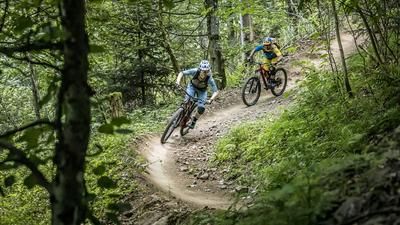
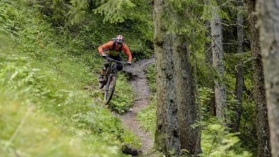
From Kirchzarten, you ride through the Iben valley to warm up and later reach the Wolfsteige, a seven-kilometre fun trail that leads over the ridge to Buchenbach. The difficulty of this section is in the S1 to S2 range. This fantastic 18-kilometre-long loop forms the start of the tour, but can also be skipped to make the route less challenging.
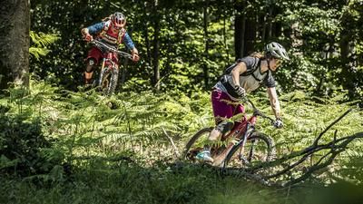
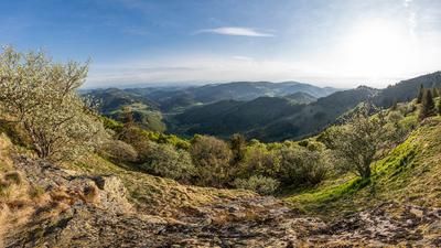
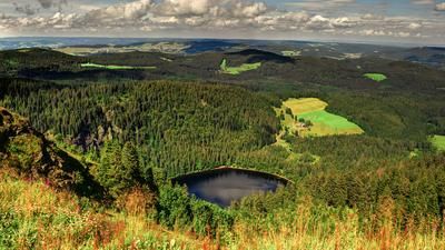
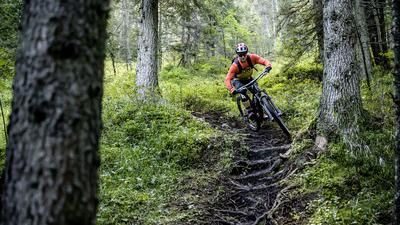
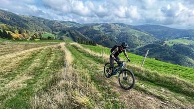
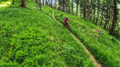
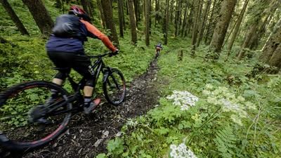
The following main section of the tour circles the Höllental valley, which connects Kirchzarten with Hinterzarten. You first climb up a forest road signposted as an MTB route until just before Nessellachen. Keep right here and follow the signposted hiking route. This takes you along a great single trail that hugs the side of the mountain and offers spectacular views down to the valley floor. You ride up and down towards Hinterzarten, finally reaching the first houses above the Ravenna Gorge. The last 2.5 kilometers to Hinterzarten are on asphalt roads.
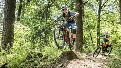
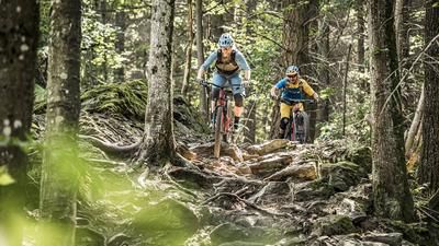
The return route leads back to Kirchzarten on the opposite side of the Höllental valley. The route starts on an asphalt road through the typical Black Forest landscape. The little road leads to the Hinterwaldkopfhütte, from where the route then climbs up a steep and racy trail close to the Hinterwaldkopf. This final section is short and crisp before it turns into the trail descent. Here you could take the serpentine path from Roteck on the left, but in this case you stay on the ridge and follow the trail past Häusleberg in S1 to S2 mode to the valley floor at the Oberried sports facility. You now roll along the valley floor back to Kirchzarten in a relaxed manner.
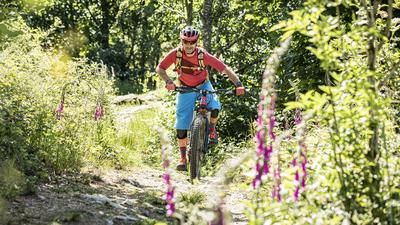
Conclusion: A great and long singletrail tour just outside Freiburg.
Note: The tour is located in Baden-Württemberg with the legal requirement of a two-meter rule. This tour contains elements that do not comply with this regulation. Rather, it reflects routes that are ridden by local mountain bikers. Compliance with the regulations is the responsibility of each individual mountain biker.
Map & GPX-Track
The map is only available to Ride subscribers.
The Ride-Subscription is available at ride-mtb.com/abo
.
Details of the tour
54 km
1560 m
1560 m
391 above sea level
1171 above sea level
1 day
Kirchzarten
Kirchzarten
3155
well suited
More information
Numerous options in Hinterzarten
More tours nearby









User comments (3)

About the author: Thomas Giger
Note: This content has been automatically translated from German. Please report any incorrect translations.
Lots of tar for the trails
Beautiful, technically rather easy tour with lots of trails, but quite demanding in terms of fitness.
Very strenuous tour. But definitely worth it. Lots of trails and two great descents. If you're just looking for something to ride (easy trails), this is for you.