

Gipfel-Trail Hochschwarzwald

Description
The official summit trail has its own website. In the ride version, the route has been optimized and some lengthy gravel road loops have been eliminated. The result is a great trail tour that can ideally be completed in two or three days.
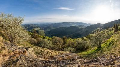
The summit trail tour ideally starts in Neustadt, an easily accessible town that can also be easily reached by train from Freiburg. The tour begins with a series of flowing trails towards Titisee and later passes the ski jump in Hinterzarten. The Feldberg, the highest elevation in the Black Forest, is then circumnavigated to the north.
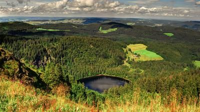
The route finally rides over two loops to Todtnau, where half of the route is completed. From there, the return journey takes you through the southern part of the Upper Black Forest. You pass the Hasenhorn and later the Herzogenhorn before continuing towards St. Blasien. After a transfer section to Schluchsee, more flowing trails follow to Lenzkirch. The crowning glory of the tour is the Hochfirst, from the summit of which you can enjoy a fantastic view of Lake Titisee and the Feldberg behind it. From here, a fast and fun singletrail descent leads directly to Neustadt train station.
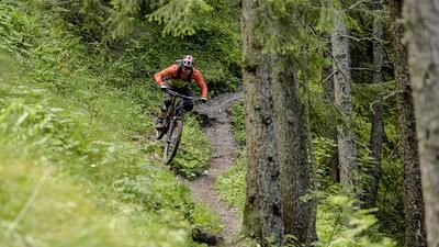
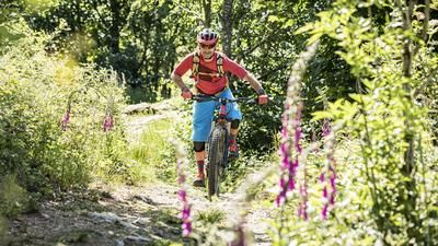
This multi-day tour in the Black Forest offers a variety of beautiful and flowing trails in the S0 to S1 segment, paired with longer gravel road sections typical of the Black Forest. It is a first-class opportunity to experience the typical Black Forest feeling to the full. If you like single trails, this version of the tour is highly recommended.
Note: The tour is located in Baden-Württemberg with the legal requirement of a two-meter rule. This tour contains elements that do not comply with this regulation. Rather, it reflects routes that are ridden by local mountain bikers. Compliance with the regulations is the responsibility of each individual mountain biker.
Map & GPX-Track
The map is only available to Ride subscribers.
The Ride-Subscription is available at ride-mtb.com/abo
.
Details of the tour
111 km
3330 m
3330 m
675 above sea level
1387 above sea level
1 day
Neustadt
Neustadt
3220
well suited
More information
More tours nearby






User comments (0)

About the author: Thomas Giger
Note: This content has been automatically translated from German. Please report any incorrect translations.