

Herzogenhorn - Hochtal - Steig

Description
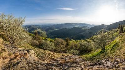
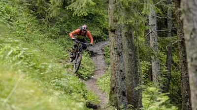
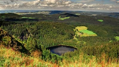
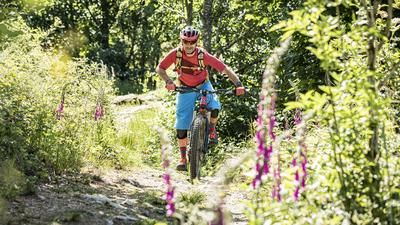
We start on the Feldberg Pass with the ascent to Grafenmatt and the performance center behind it. The Herzogenhorn is now already visible and is easy to reach via a forest road. The Herzogenhorn (1415 meters above sea level) is the second highest mountain in the Black Forest after the Feldberg and offers a great panoramic view of almost the entire Upper Black Forest. The first part of the descent leads over a short singletrail and then climbs up to the Krunkelbachhütte after a traverse on gravel. This uphill is quite short and immediately after the hut, the Hans-Thoma-Pfad begins on the right, a long and flowing singletrail down to Bernau. Instead of riding all the way down to the valley floor, you follow a high trail above the village and then climb a few more meters to just north of the Kaiserberg. Now the long trail section to Menzenschwand begins. At first, the trail flows along the edge of the forest, later interspersed with the odd rough section. This great trail rides down to the valley floor a little south of Menzenschwand. This is where the 400-metre ascent back to the Feldberg begins, initially on asphalt, later on gravel, always with a pleasant gradient and away from traffic.
Beware: large parts of the tour ride along the Hochtal-Steig trail, which is also used by many hikers. In any case, there are many hikers in the region south of the Feldberg. Ideally, this tour should not be tackled on a fair-weather weekend.
Map & GPX-Track
The map is only available to Ride subscribers.
The Ride-Subscription is available at ride-mtb.com/abo
.
Details of the tour
27 km
915 m
915 m
841 above sea level
1405 above sea level
1 day
Feldberg (Schwarzwald)
Feldberg (Schwarzwald)
2471
well suited
More information
More tours nearby



User comments (1)

About the author: Thomas Giger
Note: This content has been automatically translated from German. Please report any incorrect translations.
Beautiful tour! If you like, you can add another trail towards the end, which - although located directly on the Feldberg Pass - is very quiet: approx. 600m after the Feldberg-Caritas-Haus at tour kilometer 26.2, turn left on the zig-zag path down to the Menzenschwander Alb again. At the end, turn right uphill and past the valley station of the Zeller 1 lift back to Grafenmatt. A total of approx. 100 vertical meters and not even 1km more distance, but a trail almost to the end :-)