

Badener Höhe - Murgtal

Description
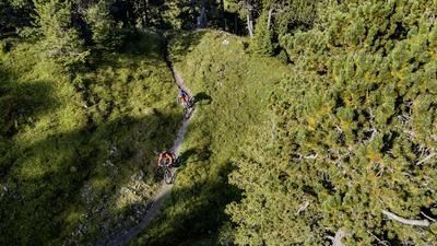
The tour starts in Schönmünzach, where you initially cycle along the cycle paths to Raumünzach. Now it's time for the asphalted 300-metre ascent to the Schwarzenbach dam. Cycle into the valley along the lakeshore on a gravel path and later climb up to Badener Höhe. Up to the saddle a little below, the route runs on a gravel road, the last section to Badener Höhe is a rough single trail where most people push their bikes up. At the summit, we recommend climbing the viewing tower. This offers a great panoramic view of the entire northern Black Forest.
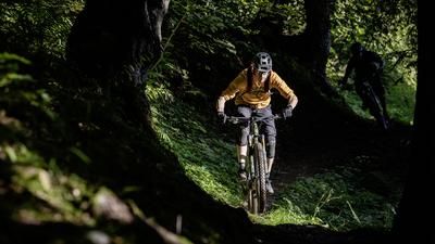
For the descent back into the Murg Valley, take a gravel road down to the Herrenwieser Sattel. Head onto a trail here, then keep right at the barbecue area and finally ride down a wide trail to a gravel road. Roll along this road to the next junction on the right, turn left and a short time later you will reach the start of the water pipeline trail. This is an eight-kilometer-long, almost flat path. Always flowing, sometimes a little unkempt, then again smooth as glass on forest soil, at times two meters wide, then again just 30 centimetres. The Wasserleitungsweg is a great, hardly frequented route and ends directly at the Scherrhof. In a mixture of trails and small roads, you now roll over to the Rote Lache, the transition back into the Murg Valley. The initially super-fast S0 trails become a little more challenging after a gravel section at the Kleine Matterhorn (no idea why it's called that, the namesakes have probably never been to the real Matterhorn) but are first-class to ride. The difficulty is never above S2. We descend in this style to Weisenbach, where we could take the train back to Schönmünzach. However, we continue to follow the Murg valley downstream, tackling two more climbs to reach the beautiful and varied final trails of the tour. These lead directly to the outskirts of Gernsbach.Tip: This tour is ideal from the Karlsruhe area, for example, from where you can ride to Schönmünzach on the S-Bahn without changing trains.
Note: The tour crosses the Black Forest National Park for a short distance, with a general ban on biking off designated routes.
Note: The tour is located in Baden-Württemberg with the legal requirement of a two-meter rule. This tour contains elements that do not comply with this regulation. Rather, it reflects routes that are ridden by local mountain bikers. Compliance with the regulations is the responsibility of each individual mountain biker.
Map & GPX-Track
The map is only available to Ride subscribers.
The Ride-Subscription is available at ride-mtb.com/abo
.
Details of the tour
48 km
1085 m
1385 m
166 above sea level
1005 above sea level
1 day
Schönmünzach
Gernsbach
2465
well suited
More information
More tours nearby




User comments (0)

About the author: Thomas Giger
Note: This content has been automatically translated from German. Please report any incorrect translations.