

Halserspitz-Trail

Description
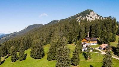
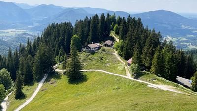
The tour begins in the Bavarian Prealps at the Wildbad Kreuth parking lot. From here, the official bike route heads toward the Raineralmweg along the stream and the established mountain bike trail, climbing steadily uphill to the Bayralm. Upon reaching the Bayralm, you’ll be at an elevation of just under 1,150 meters above sea level before continuing on the forest road toward Halserspitz. Finally, the rideable section ends at 1,250 meters above sea level, and you carry your mountain bike on your back further uphill. Here, follow the hiking trail toward the Gufferthütte and then take the right fork toward Halserspitz.
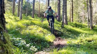
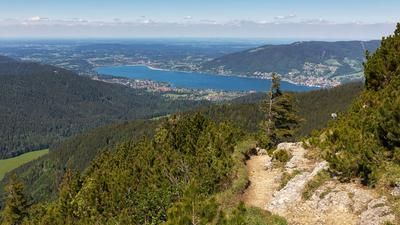
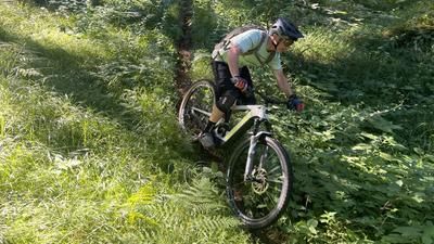
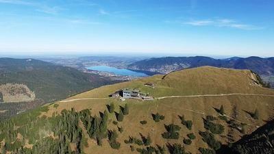
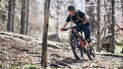
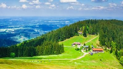
At the fork in the trail below the Halserspitz, you reach the highest point of the tour, where you’ll experience a typical Bavarian pre-Alpine atmosphere: partially heavily weathered limestone, gentle mountain slopes in rugged terrain, and striking peaks characterize this area. The descent on the so-called “Halserspitz Trail” is technically very demanding but also extremely varied. On average, the difficulty level here is S3, though there are also some S4 sections. In between, flowing sections invite you to carve through them, making the descent with nearly 900 units of elevation loss both interesting and impressive. Finally, you reach the valley floor again in the Siebenhütten-Alm area and use trail shortcuts and side paths back to Wildbad Kreuth, the starting point of the tour.
Note: The tour can also be ridden via the Gufferthütte or combined with it. However, this makes the ascent significantly longer, as the border between Austria and Germany must be crossed.
Map & GPX-Track
The map is only available to Ride subscribers.
The Ride-Subscription is available at ride-mtb.com/abo
.
Details of the tour
23 km
850 m
850 m
793 above sea level
1625 above sea level
1 day
Wildbach Kreuth
Wildbach Kreuth
3625
not suitable
More information
More tours nearby











User comments (0)

About the author: Martin Depauli
Note: This content has been automatically translated from German. Please report any incorrect translations.