

Schliersberg-Trails

Description
From the train station in the village center of Schliersee, cross the main road and continue into the Kalkgraben district. Via a forest road you quickly gain altitude in the wooded area of the Schliersberg. At about 1210 meters above sea level, shortly before the forest road takes a left turn over the mountain ridge, turn right unmarked onto a narrower path. Follow this path for about 300 meters until you reach a fork in the road with the place name Zielmoos. This is where the trails down to Schliersee start
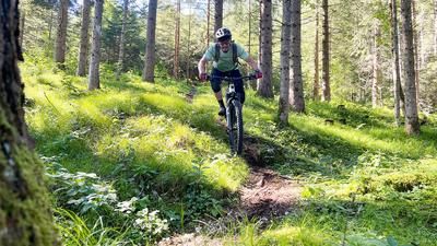
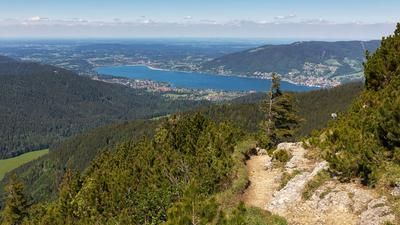
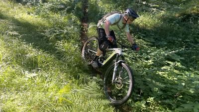
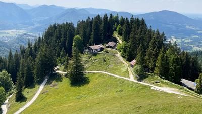
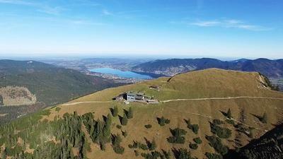
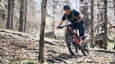
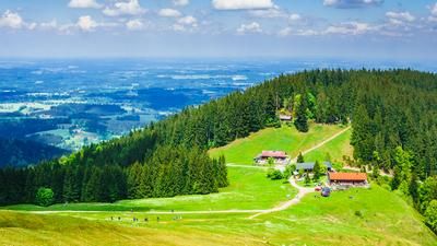
.The GPS track provided delivers the most logical and flowing single trail into the valley. It initially leads through mountain forest, over some challenging root passages and smaller built elements in meadow terrain. In this area you have a wonderful view of the lake. Shortly above the Stögeralm (896 meters above sea level), the trail branches off into the forest again via a staircase (watch out for pedestrians here). Shortly afterwards, you will reach the village of Schliersee.
In the upper part of the Schliersberg in particular, there are other trail variants. So it makes sense to crank up the Schliersberg a second or third time. Afterwards, be sure to enjoy a sundowner drink at the Schliersee lido!
Map & GPX-Track
The map is only available to Ride subscribers.
The Ride-Subscription is available at ride-mtb.com/abo
.
Details of the tour
8 km
420 m
420 m
781 above sea level
1199 above sea level
1 day
Schliersee
Schliersee
2450
well suited
More information
More tours nearby











User comments (0)
Note: This content has been automatically translated from German. Please report any incorrect translations.