

Mont Jovet
Description
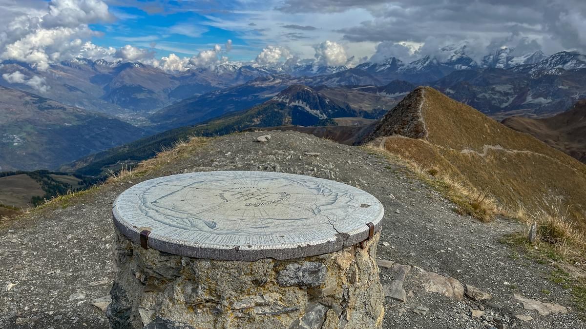
From Bozel, follow the road out of the valley, climbing only slightly along the slope to Montagny and on to La Thuile. From the hamlet, the ascent to the village of Feissons-sur-Salins begins and on gravel roads past meadows and through forests along the ridge to the east, following the red signposts of a local mountain bike route. Past the Refuge Jovet, keep heading in the same direction and follow the flat path below the summit before tackling the ascent to the summit via the eastern ridge. Some sections are too steep and can only be tackled by pushing, otherwise the entire tour is rideable throughout. From the summit at 2526 m above sea level, you are presented with an excellent panorama with countless peaks of the French Alps.
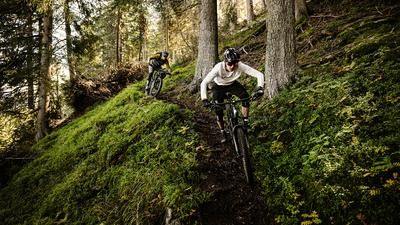
The descent starts right at the summit. The first-class singletrail winds its way down the western flank to Refuge Jovet, where you turn left and follow meadow paths, occasionally crossing an alpine road, to reach an alp. The singletrail then becomes narrower and tighter and is peppered with several challenging hairpin bends from the small wooded section onwards. You then reach another alpine road, follow it uphill to the left for a short distance and turn right towards the hamlet of Mirabozon. The rest of the descent is pure riding fun. The single trail, which is easy to ride, always follows the course of the stream downhill, with short sections requiring more attention. Just above the village, you reach the first houses and roll back into the village of Bozel, the starting point.
Map & GPX-Track
The map is only available to Ride subscribers.
The Ride-Subscription is available at ride-mtb.com/abo
.
Details of the tour
40 km
1750 m
1750 m
865 above sea level
2525 above sea level
1 day
Bozel
Bozel
2592
well suited
More information
More tours nearby



User comments (1)

About the author: Jonas Spöring
Note: This content has been automatically translated from German. Please report any incorrect translations.
We did the tour today. First of all, the panorama was worth all the drops of sweat.
Unfortunately, only the first 400m or so were on asphalt, after that it was mostly a very rough gravel road. No cars overtook us, as they simply can't ride there. Without e-bikes, however, the ascent was a challenge. Perhaps the ascent through the village of Villemartin and then following the road to Refuge Jovet would be a lot easier, as all the cars drive up to the refuge there.
Once at the refuge, the path to the summit was not far and easy to master with short carrying passages.
As I said at the beginning, the view was breathtaking. We can also highly recommend the dessert at the Refuge after the summit.
The descent was very varied and very smooth to ride. But you should like hairpin bends, because there are quite a few of them.
We especially liked the middle/lower part along the river, which was very fun to ride.
All in all, we can highly recommend the tour, although the ascent could perhaps be optimized a little.
We rode the tour on two enduro bikes without electric drive.