

Les Crêtes Trail
Description
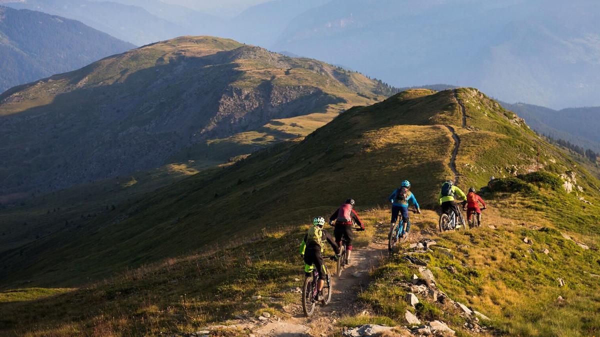
The enduro tour starts in Méribel. If you're out and about in the summer season, hop on the gondola and take the lift up to the Col de Tougnète and then head down the bike trail to the Pas de Cherferie. Outside the short summer season in Méribel, you climb up to the Pas de Cherferie via Motteret under your own steam. Initially on asphalt, then on gravel. This adds up to almost 700 meters in altitude, but there is still the final stretch to master. On a gravel road, you fight your way up to the Roc de Fer (2290 meters above sea level). This is the highest point of the tour and offers a fantastic view over the Trois Vallées as far as Mont Blanc. Now comes the section that gives the tour its name: it's all over the ridge, always on a single trail and occasionally short but jagged climbs. Finally, you reach the Dos de Crête Voland, an inconspicuous meadow summit with a fabulous panorama. The Aiguille de la Grande Sassière (3747 meters above sea level), the highest mountain bike mountain in the Alps, can be seen in the background. And Mont Blanc is also unmistakably towering.
But the summit is not only attractive for its view. It is also the starting point of the 1600-metre Elevation loss descent to Moutiers. The trail is marked as a mountain bike route, a great enduro route with lots of variety, roots, bends, flat sections, serpentine sections, everything is available here. This is how you reach the Plan des Danses, where the trail changes character and flows much more smoothly through the forest. The descent is seemingly endless, with the occasional transfer section on gravel and then another great trail until you drop. You pass Villarlurin in this way and take a final section of trail that rides down to the valley floor near Moutiers. From here, you can either head to Moutiers train station or a little uphill to Brides (ideally following the path along the river) and then take the bus back to Méribel.
Map & GPX-Track
The map is only available to Ride subscribers.
The Ride-Subscription is available at ride-mtb.com/abo
.
Details of the tour
29 km
890 m
1860 m
478 above sea level
2278 above sea level
1 day
Méribel
Moûtiers
2591
well suited
More information
No options along the route
More tours nearby


User comments (0)

About the author: Thomas Giger
Note: This content has been automatically translated from German. Please report any incorrect translations.