

Le Tillet Trail
Description
The starting point of the tour is Feissons sur Isère between Albertville and Moutiers. This is where the long singletrail descent ends later on, but you first have to earn it. Initially, you roll up the valley on the low-traffic country road to Petit Coeur and then switch to the mountain road, which rides up a total of 900 vertical meters to the village of Grand Nâves. We recommend stopping off at a restaurant here as there are no more options for refreshments. A refreshment stop is also advisable because there are another 350 meters of ascent to conquer. Now, however, the route is no longer on an asphalt road but on a gravel road. This rides up to the ridge, the culmination point of the tour. This is followed by the first singletrail that rides down into the Glaize valley. The joy is short-lived, however, because after crossing the river, the route climbs again. This adds up to almost 100 vertical meters until the actual singletrail descent begins on the left.
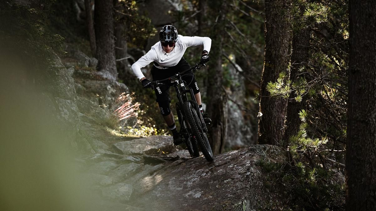
From here on, fun of the highest order is the order of the day. The path winds its way through the fairytale forest, which is always overgrown with moss. Sometimes flowing, sometimes more challenging, then flat again, later steeply downhill with hairpin bends. At one point, you cross a spectacularly steep rocky passage. This takes you to the fork in the road above Le Tillet, where you turn right and take the flow bomb down to Le Mont. Finally, you reach a paved mountain road just above Feissons. You can now either roll downhill to the starting point or climb a little higher. There are 200 meters in altitude before the fun and fast singletrail begins in a right-hand bend, which finally leads onto a small road a little above the starting point. The last few meters ride over another trail and round off this exceptionally great trail loop.Shortening options for the tour:
- Instead of via Grand Nâves, turn directly into the Glaize valley further down. To do this, turn left on the ascent road a little after Molençon.
- On the descent to Le Mont, do not ride further down the trail but traverse over on the mountain road to the gravel road that eventually leads to the final trail.
Map & GPX-Track
The map is only available to Ride subscribers.
The Ride-Subscription is available at ride-mtb.com/abo
.
Details of the tour
39 km
1660 m
1660 m
410 above sea level
1708 above sea level
1 day
Feissons-sur-Isère
Feissons-sur-Isère
2590
well suited
More information
More tours nearby




User comments (1)

About the author: Thomas Giger
Note: This content has been automatically translated from German. Please report any incorrect translations.
Since we didn’t want to tackle that much elevation gain again, we only climbed from Petit Coeur to Nâves and then pushed our bikes up a black trail (30% grade!) to the Forêt de Barlet signpost. From there, we rode down a ridge with lots of other riders to the road, which we crossed (at Le Detchu), then rides steeply down to a riverbed, pushes back up to the hamlet “sous les Pierre” before tackling the final, spectacular stretch. A highly recommended shorter alternative. Since the ridge faces the sun, it dries quickly and is rideable even after rain.