

Dev'Albertville
Description
There are two options for the ascent from Albertville. Either you ride the bus to Beaufort and from there on to Les Saises (check the operating times!). In July and August, you can take the chairlift from here up to the summit of Mont Bisanne. With this option, you don't need a single turn of the crank to make the ascent. If you tackle the route under your own steam, first follow the main road in the direction of Beaufort, but then turn left at Queige and climb up to the summit via Bisanne on mountain roads with little traffic. The entire ascent is on asphalt roads with a pleasant gradient.
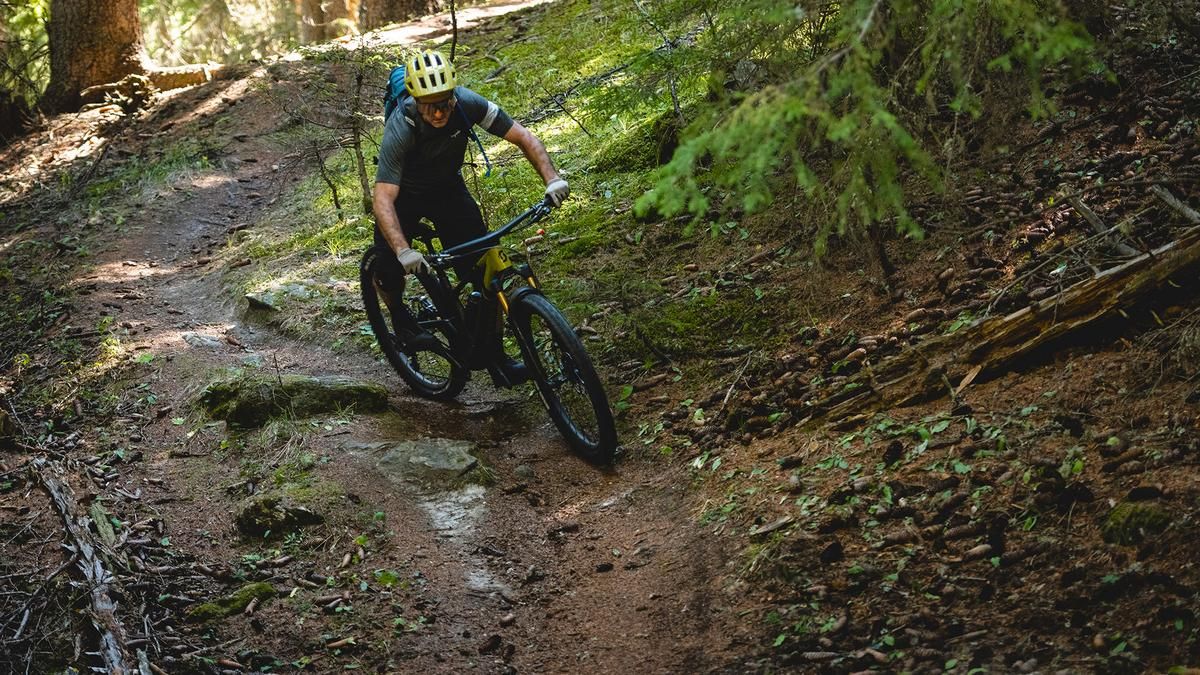
From the summit of Mont Bisanne with its great view of Mont Blanc, the long singletrail descent to Albertville is the order of the day. It is marked throughout as a bike route, although the start seems a little sobering. The first few meters are downhill on a gravel road. At the edge of the forest, however, the singletrack begins. This rides a little through the forest, followed by a ski slope and a short counter-climb. Then it's time to get down to business! The path down to Lac des Saises is steep and interspersed with hairpin bends. It is signposted as a bike trail but is anything but a flat-ironed flow highway. The route continues in this vein, running parallel to the mountain road for a while, then descending further and further to the Col de la Forclaz. A section of gravel road ascent to Mont Cornillon is on the cards until the route continues in the familiar mode. The route is challenging, but always flowing. Fast bends alternate with root carpets, smooth forest floor with rock gardens. The trail is a classic enduro trail. It descends via Grand Village to the valley floor between Albertville and Ugine, where you roll back to Albertville on the cycle path.
Map & GPX-Track
The map is only available to Ride subscribers.
The Ride-Subscription is available at ride-mtb.com/abo
.
Details of the tour
44 km
1810 m
1810 m
346 above sea level
1926 above sea level
1 day
Albertville
Albertville
2605
well suited
More information
More tours nearby



User comments (0)

About the author: Thomas Giger
Note: This content has been automatically translated from German. Please report any incorrect translations.