

Toutafond-Trail
Description
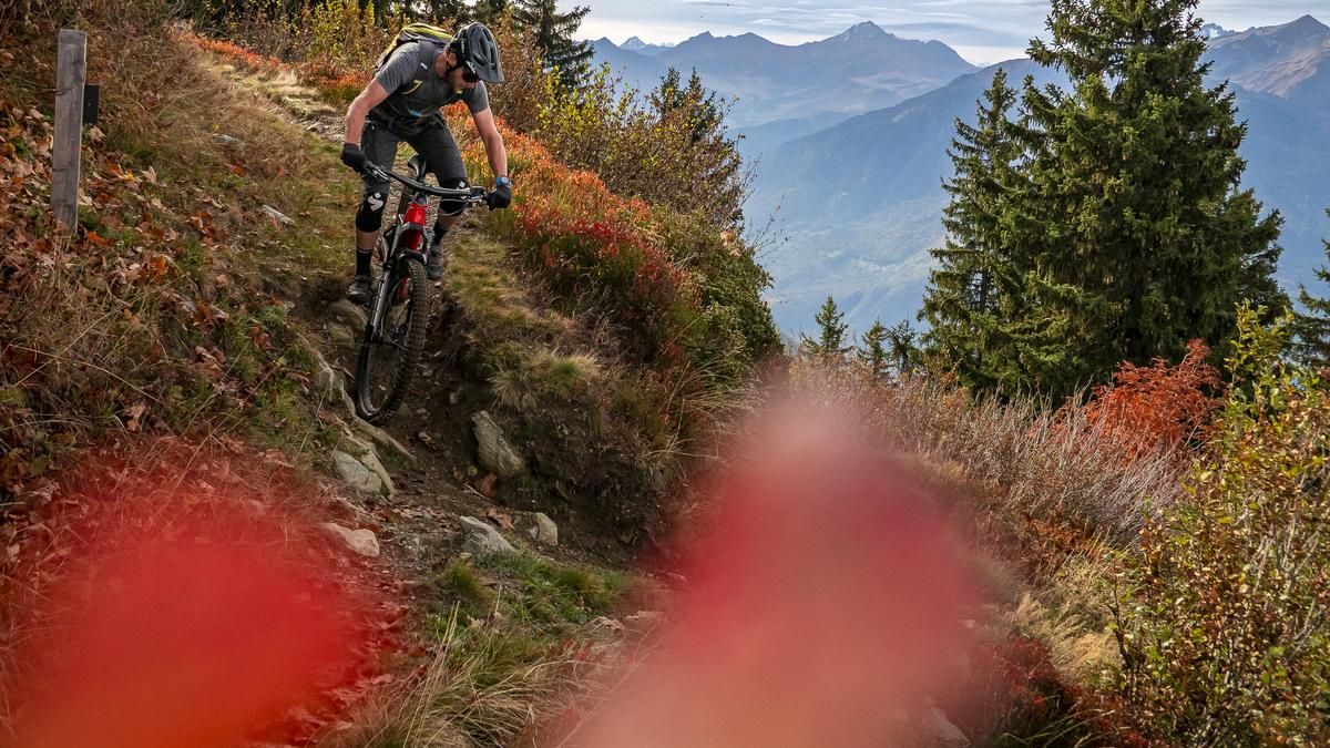
The route starts in La Bâthie, a village just under ten kilometers from Albertville. You leave the village via Rue Jules Renard and then change to Rue de Biorges, the D65. Now the road climbs pretty much straight up for 1600 meters. The gradient of the mountain road is perfect - not too flat and not too steep. After about eleven kilometers, you reach a junction at Le Daru, where you turn right towards Alpage de Bellachat. From there you have a good view of Mont Blanc on a clear day. Only the last short section from the alp to the trail entrance is steep, but fortunately only short.
The first few meters on the trail are a little bumpy and unrhythmic. After that, however, the fine line runs beautifully along the slope. After this short high-altitude section, the descent back to La Bâthie begins. It starts immediately with a series of hairpin bends that require a bit of control, but are easily manageable even without shifting the rear wheel. After around 150 Elevation loss, the trail opens up a little and the straights between the bends become longer. Here, the studs encounter roots and stones, just in such a way that there is still plenty of flow. These sections are predestined for a good run. But you should be on your guard, otherwise you'll quickly miss the bends.
In this style, the Toutafond trail provides plenty of riding fun all the way to Biorges. The short ride through the village is a welcome change, also for the hands, before you tackle the last few Elevation loss on the Chemin du Biorges. This starts quickly, but becomes a little more difficult in the forest. Once the steeper switchbacks in the rocky terrain have been mastered, the ride continues more smoothly to the edge of the village of La Bâthie, from where you roll back to the starting point.
Map & GPX-Track
The map is only available to Ride subscribers.
The Ride-Subscription is available at ride-mtb.com/abo
.
Details of the tour
28 km
1600 m
1600 m
360 above sea level
1888 above sea level
1 day
La Bâthie
La Bâthie
2560
well suited
More tours nearby



User comments (0)
About the author: Balz Weber
Note: This content has been automatically translated from German. Please report any incorrect translations.