

Col de l'Arpettaz
Description
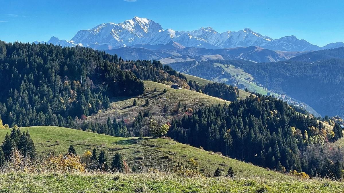
The route starts inconspicuously in Ugine with the asphalt ascent on the Route d'Hery. After seven kilometers, turn left and follow the little-used road to the Col de l'Arpettaz. From around 1100 meters above sea level, the charms of the ascent become apparent for the first time with views of Mont Blanc. The further you climb, the more impressive the rocky glacier giant looms on the horizon. The view is particularly impressive on the somewhat flatter passage that rides over to the Col de l'Arpettaz. The 1160-metre ascent is completed here.
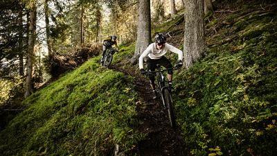
The long singletrail descent back to Ugine is on the agenda. This begins with a few shorter trail sections as a shortcut to the road. A little further down, you turn left onto a forest path, which turns into a singletrail a little later. This section offers first-class riding fun. The agile, flowing and varied path meanders downhill until you cross the Nant Trouble stream. Now the route becomes more challenging, more adventurous and, above all, steeper. Winding descent after winding descent. There are also places where the bike has to be pushed a few meters. The crisp sections are always followed by smooth passages. Especially in the lowest section, the trail is once again super flowy. This is how you reach the country road in Bellecombe just above Ugine. The route climbs a few more meters before riding down to the center of Ugine on a gravel road.Note: This descent is only recommended for mountain bikers who are confident on steep terrain.
Map & GPX-Track
The map is only available to Ride subscribers.
The Ride-Subscription is available at ride-mtb.com/abo
.
Details of the tour
30 km
1225 m
1225 m
416 above sea level
1584 above sea level
1 day
Ugine
Ugine
2604
well suited
More information
More tours nearby



User comments (0)

About the author: Thomas Giger
Note: This content has been automatically translated from German. Please report any incorrect translations.