

La Grande Lanche
Description
1300 vertical meters in one go on an asphalt road - the start of the tour feels like an endless feat of strength. At least the road climbs pleasantly, winding its way up the forest with 37 serpentine bends. The alp is reached at the edge of the forest. If you don't have the strength or motivation for the summit experience on foot, head straight for the descent from here. The others ride a short distance on a gravel road, 450 meters in altitude from Alp Ébaudiaz to the summit. Good footwear is recommended here, as the summit is accessible via an alpine path. The view up here is fantastic: The large valley floor of Albertville and the entire mountain world of High Savoy lie at your feet.
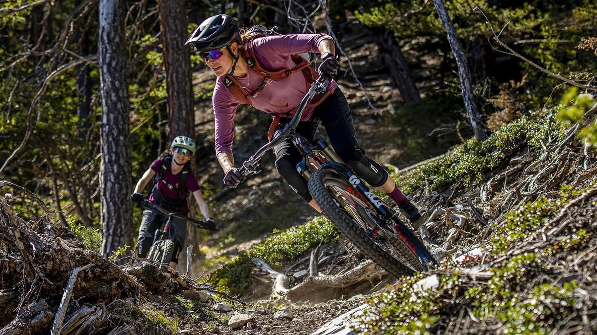
The descent by mountain bike begins just above Alp Ébaudiaz with a somewhat bumpy single trail, which then quickly becomes smoother. You descend on a mix of trails and gravel roads, some of which have been milled into the forest by forestry work, and finally reach a gravel road that traverses the forest at the same height. This is the access road to the fantastic final section along the Hermettaz stream. The last 700 vertical meters flow smoothly, agilely and quickly towards the village of Notre Dame des Millières.
Map & GPX-Track
The map is only available to Ride subscribers.
The Ride-Subscription is available at ride-mtb.com/abo
.
Details of the tour
28 km
1750 m
1750 m
338 above sea level
2075 above sea level
1 day
Notre-Dame-des-Millières
Notre-Dame-des-Millières
2602
well suited
More information
More tours nearby



User comments (0)

About the author: Thomas Giger
Note: This content has been automatically translated from German. Please report any incorrect translations.