

Col des Fontannettes
Description
The starting point of the tour is the Pont Albertin bridge, which connects Albertville with Grignon. From here, take the main road towards the town center, but then turn left immediately beforehand. You are now on the asphalted forest road, which winds its way up the Fôret de Rhonne at a pleasant gradient. Bend after bend up the mountain until after 800 meters the gravel road branches off to the left up to the Col des Fontannettes. This last section is steep and rough in places. At the Col des Fontannettes, the route continues uphill to the left for a few more meters on singletrack until the culmination point is reached in the middle of the dense forest. There are no panoramic views to be expected on this route.
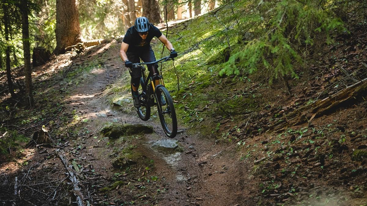
Instead of a panoramic spectacle, it's all downhill fun! The varied single trail rides through the mossy and rustic-looking forest, sometimes steep, sometimes flat, interrupted by hairpin bends, then straight ahead again. There are also some tricky sections, the whole S2 program is on offer. Around the Chalet forestier de Rhonne, the trail is a little crisper and occasionally at home in the S3 segment. But then it becomes smoother again for a traverse, finally leading directly down to the Pont Albertin as a crisp finalissima. Conclusion: A great trail tour on the outskirts of Albertville with a pleasant ascent and a fun descent.
Map & GPX-Track
The map is only available to Ride subscribers.
The Ride-Subscription is available at ride-mtb.com/abo
.
Details of the tour
17 km
980 m
980 m
330 above sea level
1312 above sea level
1 day
Albertville
Albertville
2594
well suited
More information
More tours nearby



User comments (0)

About the author: Thomas Giger
Note: This content has been automatically translated from German. Please report any incorrect translations.