

Crève-Tête
Description
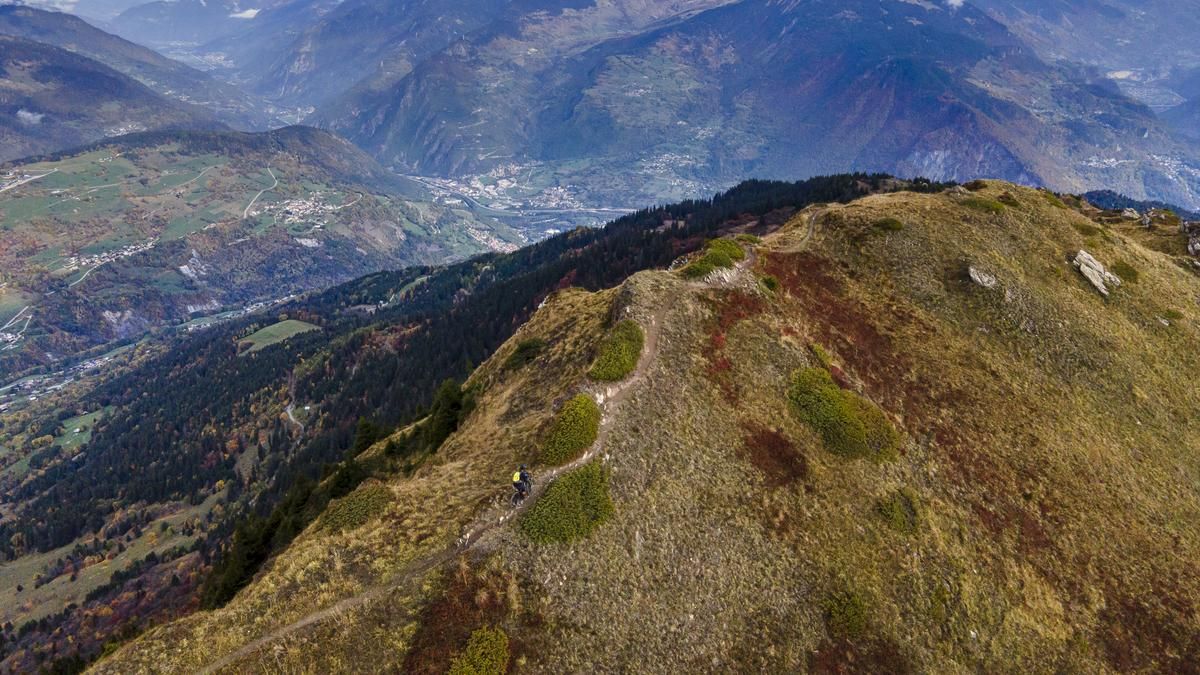
The route starts in Grand-Aigueblanche, where you reach the Valmorel ski resort on side roads via the villages of Doucy, Raclaz and Le Meiller. The gradient is always pleasant, but this changes as soon as the route switches to the ski slope at the end of the resort. Easy gears are required on this section. If you want to make the ascent easier, take the gondola lift to Pierrafort in Valmorel. From here, you can reach the Col du Gollet with calf power, but now at a pleasant gradient. From the pass, the remaining 360 vertical meters to the summit have to be mastered by pushing and carrying the bike. Parts of the final ascent can be ridden with a bit of effort, but the carrying passage shortly before the summit is unavoidable. It leads over steep rock steps, narrow sections and is exposed in places. Surefootedness is an advantage, even if there are fixed ropes. The last few meters to the summit are easier again, and then the magnificent view opens up.
The descent begins from the small summit platform. The flowing trail rides along the ridge and encourages you to release the brakes. However, the blind corners, some with technical passages, require full focus. Two passages are completely unrideable. The flow interruptions are then compensated for with plenty of downhill fun. Turn left at Longecha, after which the descent gradually leads into the wooded area. Here the trail becomes somewhat rougher and steeper. It ends after a few minutes and you can give your hands a rest on the gently sloping forest road. After around 600 meters, the fun begins again, but the character of the descent changes. The trails become flowier again, but not necessarily easier. Around 1000 Elevation loss after the summit, the studs touch asphalt again for the first time. Below the Barrage de la Coche, a small road rides along the contour line for almost three kilometers to the final descent. On the remaining 800 vertical meters of trails, reflexes are required once again, as some of them ride very narrowly along the steep mountain flanks and require a precise switchback technique. Despite the many switchbacks, the descent offers plenty of variety with passages of up to medium difficulty until it spits you out at Saint-Nicolas cemetery. The last few Elevation losses ride along roads and wider paths back to the starting point and are a welcome way to wind down after this trail firework display.
Map & GPX-Track
The map is only available to Ride subscribers.
The Ride-Subscription is available at ride-mtb.com/abo
.
Details of the tour
36 km
2000 m
2000 m
453 above sea level
2307 above sea level
1 day
Aigueblanche
Aigueblanche
2598
limited
More information
More tours nearby




User comments (0)

About the author: Balz Weber
Note: This content has been automatically translated from German. Please report any incorrect translations.