

Croix de Feissons
Description
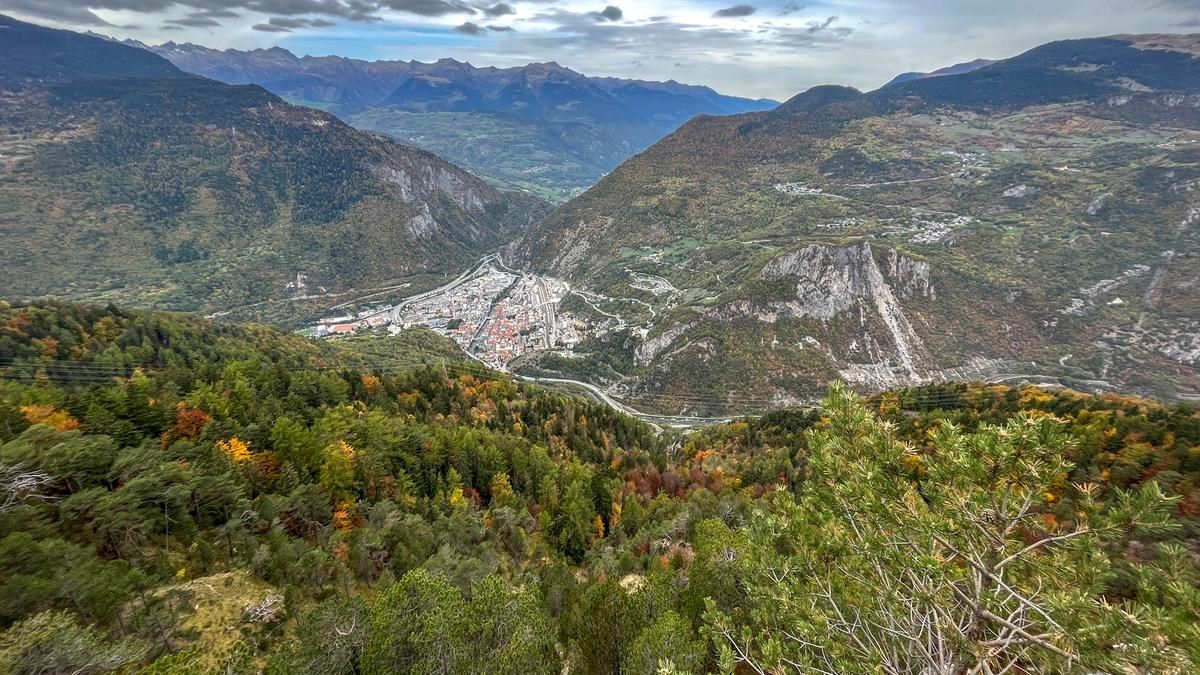
The route starts in the center of Moûtiers, which you leave by following cycle route 69 southwards and shortly afterwards tackle the ascent to the village of Feissons-sur-Salins. Once you have reached the village riding on asphalt roads, there are still around 150 meters of ascent on gravel roads to the Croix de Feissons viewpoint. Once at the top, it's worth visiting the viewing platform before tackling the first few meters of altitude on a fun singletrail alternating between forest and meadow. This is followed by a section of gravel road before the second part of the descent begins through the steep, wooded slope between Croix de Feissons and Moûtiers. The singletrail is perfectly laid out in the terrain, dotted with roots again and again and is a lot of fun to ride. Again and again, narrow sections and small stone fields require your full attention, but a smooth ride is possible throughout. The trail ends right at the entrance to the village, and you can reach the center of Moûtiers via one of the bridges over the Isère.
Map & GPX-Track
The map is only available to Ride subscribers.
The Ride-Subscription is available at ride-mtb.com/abo
.
Details of the tour
22 km
930 m
930 m
480 above sea level
1406 above sea level
1 day
Moûtiers
Moûtiers
2595
well suited
More tours nearby









User comments (0)

About the author: Jonas Spöring
Note: This content has been automatically translated from German. Please report any incorrect translations.