

Mont Bisanne Switchbacks
Description
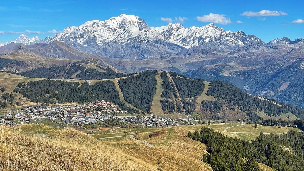
The starting point is Ugine, more precisely the traffic circle above the large industrial plants. From this unattractive place, you roll into the remote countryside within a few meters and roll up the mountain on a mountain road that feels like forever but is virtually traffic-free. You steadily gain altitude on the northern flanks of Mont Bisanne and finally switch to the southern side at around 1250 meters above sea level. In this way, you reach the village of Bisanne and continue up to the summit of Mont Bisanne (1939 meters above sea level). The entire 20-kilometre ascent is asphalted and at a reasonable gradient. At the summit, with its not particularly beautiful cable car stations, there is a great view over to the mighty Mont Blanc.
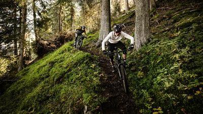
The descent begins harmlessly with a stretch of gravel road. A little further down, the routes created especially for mountain bikers begin. Initially flowing, the descent shows its teeth for the first time after a section of counter-climb on a ski slope. The section down to Lac des Saises is rough, rooty and has some tight hairpin bends. But this was just the beginning in terms of hairpin bends! After the lake, a winding trail begins that has few equals in the Alps. Serpentine after serpentine follows one another, many of them tight but rollable, others require the rear wheel to be turned. Between the bends, the trail is often flowy, until the next switchback section soon follows. In this demanding mode, you descend a whopping 900 vertical meters to the Gorges de l'Arly. The trail is a real challenge. Once you reach the bottom of the valley, you roll the last section back to the starting point on the busy road.
Map & GPX-Track
The map is only available to Ride subscribers.
The Ride-Subscription is available at ride-mtb.com/abo
.
Details of the tour
33 km
1580 m
1580 m
432 above sea level
1926 above sea level
1 day
Ugine
Ugine
2603
limited
More information
More tours nearby



User comments (0)

About the author: Thomas Giger
Note: This content has been automatically translated from German. Please report any incorrect translations.