

Haut du Pré
Description
We set off with a short sightseeing detour to Conflans. The historic village just above Albertville is picturesque and definitely worth a visit! You then take a long climb up a road and pass the Fort du Mont. The military facility, built in 1881, was intended as a defense against the Italians. There was room for 400 soldiers here, but the fort was never used. We continue to climb uphill until a gravel road branches off to the right at the Col des Cyclotouristes. Continue along this road and you are now in the Haut du Pré region, which gives the tour its name. Finally, you reach a left-hand hairpin bend with a picnic bench (1711 meters above sea level). This somewhat inconspicuous spot is the culmination point of the tour, where the downhill trail begins.
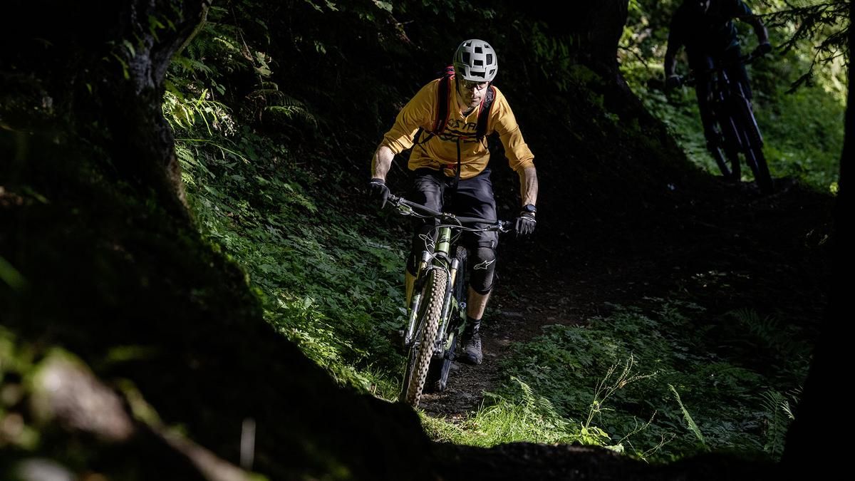
The descent is of the crisper variety. The trail is easy to ride but often steep and interspersed with hairpin bends. Technically sound mountain bikers will have a lot of fun here. In this way, you reach a gravel road at the Refuge de la Combe des Filles, which soon turns into a singletrail again. Now it becomes smoother, faster and occasionally interrupted by short sections of gravel road. This is how you whizz downhill until you turn sharp right onto the final section at an altitude of 900 meters above sea level. The path now rides through very steep terrain and offers great views of the lower Isère valley from time to time. The character of the trail is the same as at the start of the tour: no longer as flowy but a little more challenging. There are always interesting sections to conquer, only to continue in a more relaxed manner. The trail descends to Le Grand Village, from where you roll along the country road back to Albertville.
If you want to take the edge off the final section, head straight on at the turn-off at 900 meters above sea level and ride back to Conflans via Reidier and Farette. This option is much more flowy, but also leads over gravel and asphalt sections again and again.
Map & GPX-Track
The map is only available to Ride subscribers.
The Ride-Subscription is available at ride-mtb.com/abo
.
Details of the tour
27 km
1410 m
1410 m
337 above sea level
1729 above sea level
1 day
Albertville
Albertville
2601
well suited
More information
More tours nearby



User comments (1)

About the author: Thomas Giger
Note: This content has been automatically translated from German. Please report any incorrect translations.
The little village of Conflans is definitely worth a detour. The climb up to the Col de Cyclotouristes is gentle. After that, it’s a rather steep forest road that takes some effort. The trail is very natural at first, with lots of roots, and because it was damp, it was pretty challenging. Overall, as described, it’s a steep ride with plenty of loose scree. The damp conditions took some of the fun out of it for us.