

Croix du Berger
Description
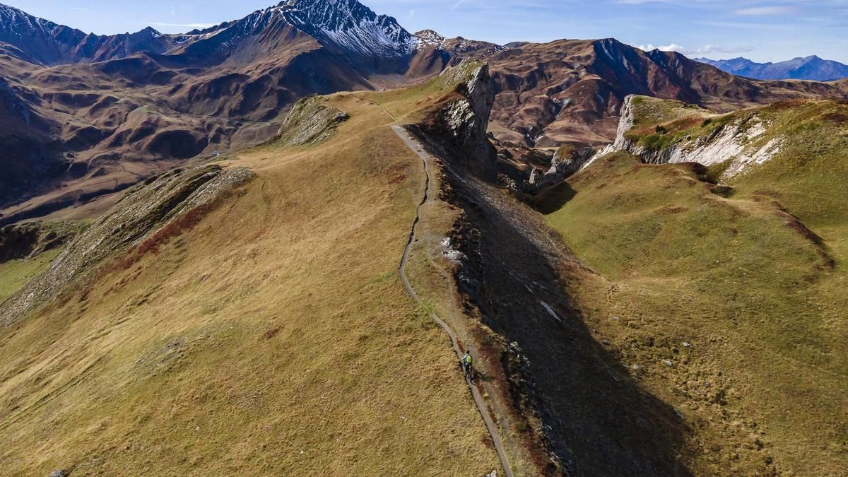
The tour over the Croix du Berger is not a short one, but it is worthwhile in two respects. The climb from the town of Aime on the D218 via the villages of Villarolland, Tessens and Granier is never steep. The D218 ends after the latter village, where you ride down the lower road to the Torrent du Cormet d'Arèche. After crossing it, the climb leads up along the torrent and crosses it two more times over the next three kilometers. The route continues along the Plan Pichou and Refuge de la Coire alpine pastures, where you turn right and ride towards La Chevalière. There you take the alpine path that leads to the left to Plan de la Marmotte and over the singletrail to the ridge to Croix du Berger.
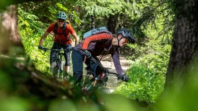
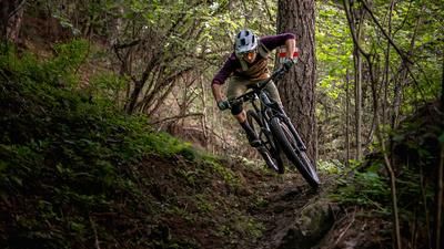
The highest point at 2289 meters above sea level is reached before the Croix. From here, you can enjoy a fantastic view of the surrounding mountain peaks and the Beaufortain. However, the descent begins over two short but practically unrideable steep steps. You then roll along the ridge to the cross and the varied route to the Cormet d'Arèche and past the Refuge de la Coire again. From here, however, the descent is via the somewhat wider trail on the right-hand side of the valley. Initially a little less spectacular, it rides along the alpine meadows and past the Saint Gérain chapel. The descent continues in the same style as far as Laval at the Monument aux morts - fast and somewhat rough. From the alpine road, the route continues for a few hundred meters along a gravel path, where you turn left onto the singletrail. Experienced mountain bikers will get their money's worth here, as the trail with its twists and turns and roots requires fine steering skills, especially when it is still wet. After around one kilometer, there is a short, steeper descent, after which you reach a trail along the watercourse, the Sentier du Grand Bief. This is by no means easier, as it is almost flat, but still a little more strenuous. After another two kilometers, you return to the D218, but a short time later you turn left at the small stream into the final descent. This leads along the pastures to Granier, where you slowly ride through the alleyways, past the Église Saint Barthélemy and back onto the trails. These sections of trail are not quite as demanding, but have plenty of flow, spiced up with a pinch of rocks. They ride from hamlet to hamlet, crossing the side road that also leads to Aime and back to the starting point.
Map & GPX-Track
The map is only available to Ride subscribers.
The Ride-Subscription is available at ride-mtb.com/abo
.
Details of the tour
34 km
1600 m
1600 m
678 above sea level
2281 above sea level
1 day
Aime
Aime
2597
well suited
More information
More tours nearby






User comments (0)

About the author: Balz Weber
Note: This content has been automatically translated from German. Please report any incorrect translations.