

Reclus-Schlucht
Description
From Bourg Saint Maurice (810 meters above sea level), you initially rolled uphill towards La Rosière or Petit Saint Bernard. In Villard-Dessus, however, you turn left and climb up a small road to Saint-Germain. Leave the small mountain village on the left and continue uphill, later on gravel. In this way, at an altitude of 1590 meters above sea level, you reach a turn-off on the right across the meadow. This is the starting point of the great Reclus descent.
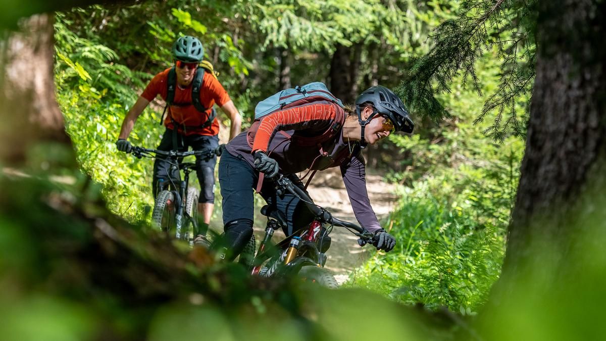
The start of the trail is not clearly visible, the trail rides across a meadow to the edge of the forest, where the path is clearly visible. The trail winds downhill through the forest, flowing, fast and repeatedly interspersed with great hairpin bends. This is how you ride down to the road that you already know from the ascent. Cycle up again to the village of Saint-Germain, but then keep left onto a slightly ascending singletrail. This takes you to the ridge at Croix de Champ Plan. Now it's time to descend again: a wide S1 trail winds its way down through the sparse forest to the banks of the Reclus stream again. This takes you to the main road at Seez and then back to Bourg St. Maurice on low-traffic side roads.
Map & GPX-Track
The map is only available to Ride subscribers.
The Ride-Subscription is available at ride-mtb.com/abo
.
Details of the tour
21 km
930 m
930 m
808 above sea level
1591 above sea level
1 day
Bourg-Saint-Maurice
Bourg-Saint-Maurice
2564
well suited
More information
More tours nearby



User comments (1)

About the author: Thomas Giger
Note: This content has been automatically translated from German. Please report any incorrect translations.
We rode the trail today. Overall, it was well worth it! We took the shuttle from the Col de Petit St. Bernard and rode down along the alpine trail. That way, we didn't have to climb much. Warning: Toward the end of the gorge, the trail has eroded in several places—it's not rideable, and you'll need sure footing!