

Montagne de Romont

Description
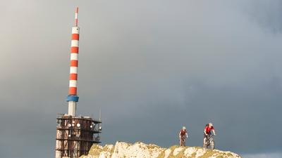
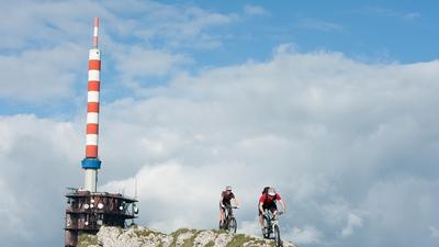
From the village of Grenchen, you climb 700 meters in altitude on a mountain road up to the Brüggli housing estate. There is still one steep ramp to go before the traverse past Bettlachberg to Stierenberg begins. Now it's another steep climb up to the nameless summit at 1199 meters above sea level. The beautiful descent to Plagne begins here at the edge of the forest through typical Jura terrain. In Plagne, the descent continues on a singletrail until you later circle the Bötzingenberg. Through the foothill forest, i.e. the southern flank of the Bötzingenberg, you then pass the villages of Pieterlen and Lengnau before returning to Grenchen.
Map & GPX-Track
The map is only available to Ride subscribers.
The Ride-Subscription is available at ride-mtb.com/abo
.
Details of the tour
38 km
1335 m
1335 m
441 above sea level
1233 above sea level
1 day
Grenchen
Grenchen
1399
well suited
More tours nearby




User comments (1)

About the author: Thomas Giger
Note: This content has been automatically translated from German. Please report any incorrect translations.
A tour suitable for city bikes? Far too many twin trails (for jeeps etc) and ignoring the fine trails on the in-house SIngeltrailmap, I would recommend the brilliant descent down to Grenchen just before the Stierenberg.