

Montozzo Epic Trail

Description
The route starts in the village of Fucine in the upper Val di Sole, from where the ascent to Passo Tonale must first be mastered. In the off-season, the main road can easily be used for this; in high summer, however, it is advisable to take the quieter gravel roads along the valley floor and later zigzag up to the pass.
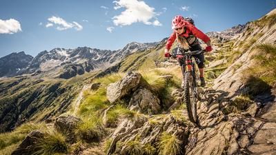
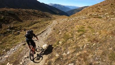
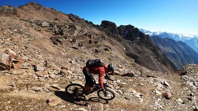
But the Tonale is only a stopover. It gets steeper from here: The route continues uphill on a gravel road and later on a trail. This section is the reason why the route is particularly attractive for e-mountain bikers - classic organic bikers will always be pushing here. Finally, you reach the ridge and thus the starting point of a long, magnificent single trail that stretches all the way to Rifugio Bozzi. It's worth taking a break here before tackling the final (steeper) meters up to Forcellina Montozzo - the highest point of the tour and also the start of the descent.
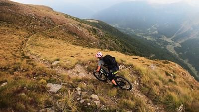
The descent through the wild high valley down to the Pian Palù reservoir is marked as an epic trail - and rightly so. The trail is varied and playful. In the lower section, it descends super-fast through dense forest to the dam wall and on down into the valley. A real highlight, which you have really earned with the ascent beforehand.
You then roll further down to Peio Fonti via trails and gravel roads and follow the trail in a similar style down to the valley at Cogolo. The last seven kilometers take you back to the starting point in Fucine via cycle paths.
Note: In summer, you can also use the mountain railroad in Tonale and head to Forcellina Montozzo via the Passo dei Contrabbandieri. However, a longer carrying passage is necessary here, which makes the variant rather unsuitable for heavy e-mountain bikes.
Map & GPX-Track
The map is only available to Ride subscribers.
The Ride-Subscription is available at ride-mtb.com/abo
.
Details of the tour
53 km
2000 m
2000 m
974 above sea level
2609 above sea level
Fucine
Fucine
3275
well suited
More information
More tours nearby





User comments (0)

About the author: Thomas Giger
Note: This content has been automatically translated from German. Please report any incorrect translations.