

Cima Rovaia

Description
The tour begins in Vezza d'Oglio (1057 meters above sea level) and winds its way up to Malga Tremonti (2124 meters above sea level), moderately at first, then very steeply later on. From the mountain pasture, a high-altitude trail crosses to the ascent variant of the Cima Rovaia, which is partly pedalable uphill. The next 300 meters of ascent follow the same path as the descent later on and you can already get an idea of what kind of enjoyable descent awaits you. But first you have to conquer the summit. Cima Rovaia is a particularly scenic mountain due to its strategic location and is also less frequented. Mountain bikers are only to be found in the peak summer months, with fall being the best period for this tour. The colorful trees and the extreme views make this tour stand out.
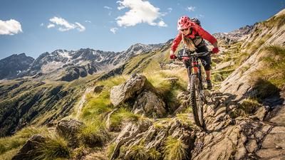
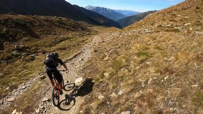
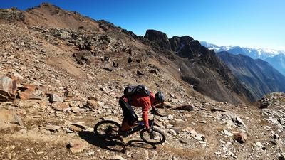
The descent from the summit of Cima Rovaia down to Pil is on a difficulty level of S1 to S2. Absolute trail surfing is on the agenda and the panorama in the upper section is unbeatable. At the bottom, you wind your way along the valley floor or the river back to Vezza d'Oglio, where the difficulty increases to S3 in places and hairpin bends are to be expected. In Vezza d'Oglio, it is possible to sit together over a nice coffee after the tour.
Map & GPX-Track
The map is only available to Ride subscribers.
The Ride-Subscription is available at ride-mtb.com/abo
.
Details of the tour
23 km
1560 m
1560 m
1016 above sea level
2493 above sea level
1 day
Vezza d'Oglio
Vezza d'Oglio
2106
well suited
More information
More tours nearby






User comments (1)

About the author: Martin Depauli
Note: This content has been automatically translated from German. Please report any incorrect translations.
Steep, steeper, steepest.... We've never experienced anything like it, no chance to pedal and that for practically the whole ascent, from Viome to Schafalp Malga TreMonti at 2124 meters above sea level. We measured a gradient of almost 50% and we were always on the track!
The mountain path was freshly paved and 300 sheep and goats, as well as two shepherds with three dogs, made their way to the next pasture in front of us, a wonderful scene that we followed for about half an hour until the animals had reached the new feeding ground. Now we had a free ride and skipped the summit. From Plzza Grande 2205 m above sea level, we left the Sentiero del Pastore and followed trail no. 175 towards Vezza dOglio. The trail winds its way through the larch forest where cows graze. Here too, flow, flow without end. The final section is more challenging and steeper. Storms have also caused damage here and fallen trees make it difficult to follow the paths.
A lot of effort for fortunately a lot of enjoyment !!!!!