

Pointe Droset / Fort Malamot
Description
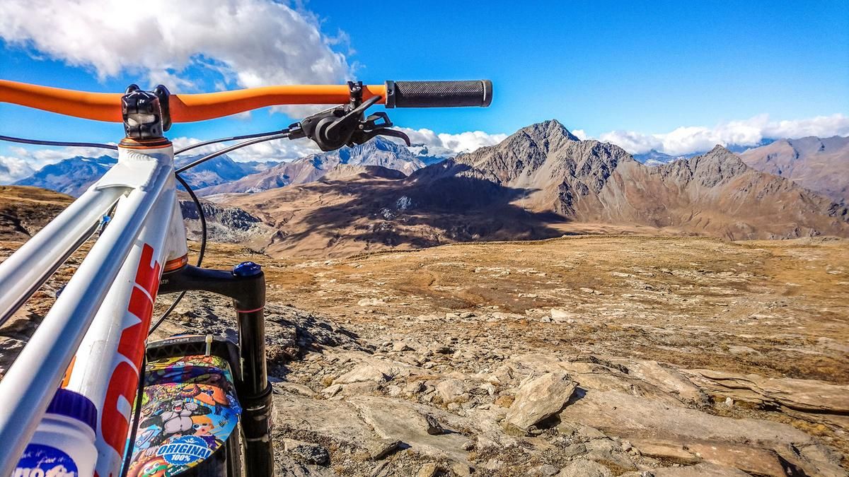
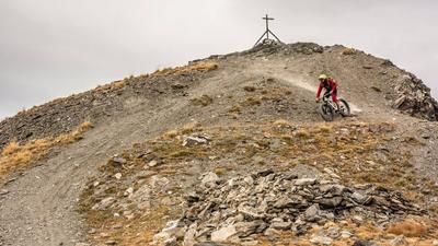
The relatively strenuous tour, considering the ascent of over 2000 meters in altitude, starts near Susa in the village of Novalesa. From here, the route follows the pass road towards Moncenisio on asphalt. At Moncenisio, you then take a short uphill trail and then reach the main road Strada Statale 25 del Moncenisio, where you can "stretch your legs" for a while. A huge structure and a sign of road construction art leads you to the Mont Cenis reservoir. A breathtaking panorama of a reservoir at over 2000 meters above sea level, surrounded by mountains towering well over 3000 meters above sea level. But the ascent doesn't end here and the somewhat tougher part of the climb begins. A military road winds its way up to the highest point, the Pointe Droset (2917 meters above sea level) and the surrounding military installations. A bizarre mountain landscape with natural sights such as ibexes and eagles is just waiting to be explored. Especially in autumn when visibility is good, the panorama is breathtaking and fascinating _ just like the upcoming downhill.
On difficulty levels S2 to S3, the route follows the ascent variant back to the lake. Shortly before this, take the road to the right below La Roche Forée and wind your way along the trail cut-offs back to the access road (Strada Statale 25 del Moncenisio). You roll down this road for 1.5 kilometers before taking the last trail cut-offs towards Susa at Bar Cenisio on difficulty S2 and finally arriving at the starting point in Novalesa. Conclusion: A full tour with over 2100 vertical meters. A shuttle is possible to the Mont Cenis reservoir.
Map & GPX-Track
The map is only available to Ride subscribers.
The Ride-Subscription is available at ride-mtb.com/abo
.
Details of the tour
45 km
2170 m
2170 m
782 above sea level
2890 above sea level
1 day
Novalesa
Novalesa
2231
well suited
More information
More tours nearby




User comments (0)

About the author: Martin Depauli
Note: This content has been automatically translated from German. Please report any incorrect translations.