

Rock ’n’ Rolla Trail Staffnalm

Description
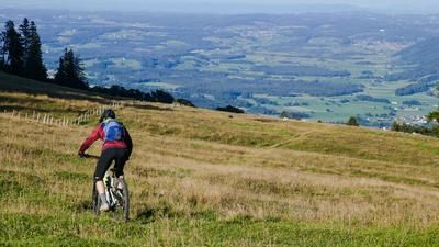
The trail has a length of approx. 2.1 kilometers and overcomes a height difference of 340 meters. It is classified between S2 and S3 on the single trail scale and can be ridden smoothly throughout. The trail is not so much an additional tourist attraction for the Achental vacation region, but rather serves to relieve the hiking trails in the Hochplatten area. In this respect, there are no plans for a bike trasnport with the Hochplattenbahn, although the trail takes up more or less the entire length of the chairlift. It is best to use the trail as the grand finale of a larger tour in the enormously varied Hochplatte area or simply ride it two or three times a day.
The tour is relatively easy to describe. It starts either in the village center of Marquartstein (545 meters above sea level) or directly at the large hikers' parking lot at the valley station of the Hochplattenbahn cable car (a good 600 meters above sea level), where it also ends.
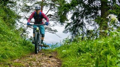
From the parking lot, the route initially follows a typical forest road, later steeper and more strenuous on the well-signposted cycle path up to the mountain station of the Hochplattenbahn cable car at the Staffnalm (1050 meters above sea level). The Rock 'n' Rolla starts clearly visible just below the mountain station next to the hang-glider ramp and rides without any notable high points (and that is not meant negatively in this case) in serpentines and always in the forest to the valley, where it ends just above the valley station of the Hochplattenbahn. Pedal up again! The Rock 'n' Rolla is also worth doing a second and third time in one day!
Map & GPX-Track
The map is only available to Ride subscribers.
The Ride-Subscription is available at ride-mtb.com/abo
.
Details of the tour
5 km
420 m
420 m
604 above sea level
1027 above sea level
Marquartstein
Marquartstein
3271
well suited
More information
More tours nearby




User comments (0)
Note: This content has been automatically translated from German. Please report any incorrect translations.